
Bray Park, NSW
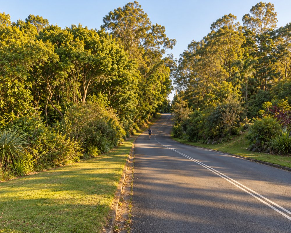
Bray Park is a residential suburb on the south-western edge of Murwillumbah, beside the Tweed River on the road to Uki.
Known For
- A quiet suburb of Murwillumbah
- The Tweed River and its weir
- Views towards Wollumbin
Things To Do in Bray Park
There is little here for visitors. The weir on the river marks the tidal limit of the Tweed and supplies the valley’s water, and the road beyond leads to Uki and the country around Wollumbin (Mount Warning).
Bray Park Weir
The weir holds back the tidal water of the Tweed, and its pool is the shire’s main water source: river flows supply about 80 per cent of the Tweed’s water, with Clarrie Hall Dam as the backup storage.
Gateway to the Wollumbin country
Kyogle Road runs south-west from Bray Park past the turn to Mount Warning Road, about 12 km from Murwillumbah, and on to Uki. It is the route to the Lyrebird track, Mt Warning Rainforest Park, Uki’s Sunday market and Clarrie Hall Dam.
Tweed Regional Gallery
The gallery and Margaret Olley Art Centre sit on the hill at 2 Mistral Road, a few minutes’ drive away on the south side of town. It opens Wednesday to Sunday and entry is free.
Where To Stay
There is no visitor accommodation in Bray Park. Murwillumbah has motels and pubs.
In Murwillumbah, five minutes away, the Imperial Hotel has rooms in a pink Art Deco pub, Murwillumbah Motor Inn has a pool and pet-friendly rooms, and the Tweed River Motel is by the river. Murwillumbah Showground runs a 25-site campground for self-contained caravans and motorhomes, with a dump point for guests; bookings are essential and stays are limited to seven nights. Further out on Mount Warning Road, Mt Warning Rainforest Park has powered and unpowered sites, cabins and eco cottages, a pool and a small shop, and dogs are allowed on a leash.
Eat & Drink
Bray Park has no confirmed cafe or shop; Murwillumbah’s cafes are five minutes away.
The centre has the Imperial Hotel’s public bar, the M|Arts Cafe and Bar, Bistro Livi, supermarkets and fuel, and the farmers’ market is at the showground on Wednesday mornings. Heading the other way, Uki’s pub and Sunday market are about 13 km on.
History
The suburb takes its name from Joshua Bray, an early settler and magistrate who played a leading part in the settlement of the Tweed Valley. The Ngandowal and Minyungbal-speaking people of the Bundjalung Nation are the Traditional Owners. The Bureau of Meteorology’s Murwillumbah weather station is at Bray Park.
Getting to Bray Park
Follow Kyogle Road south-west from the centre of Murwillumbah for about five minutes.
Riverview Street becomes Kyogle Road; Bray Park is about 3 km on. From Sydney it is about 800 km by the M1 and the Tweed Valley Way, sealed all the way.
Experiences
- Historic/Heritage
- Rural/Country
Popular Activities
- Driving
- Shopping
- Sightseeing
About Bray Park
- Locality: Suburb
- Bray Park Postcode: 2484
- State: New South Wales
- Region: North Coast NSW
- Latitude: -28.34353
- Longitude: 153.37584
- Elevation: 24m
- Population: 795
- Median Income: $24492
- Area (Sq/km): 0.968
- Timezone: Australia/Sydney
