Murwillumbah, NSW
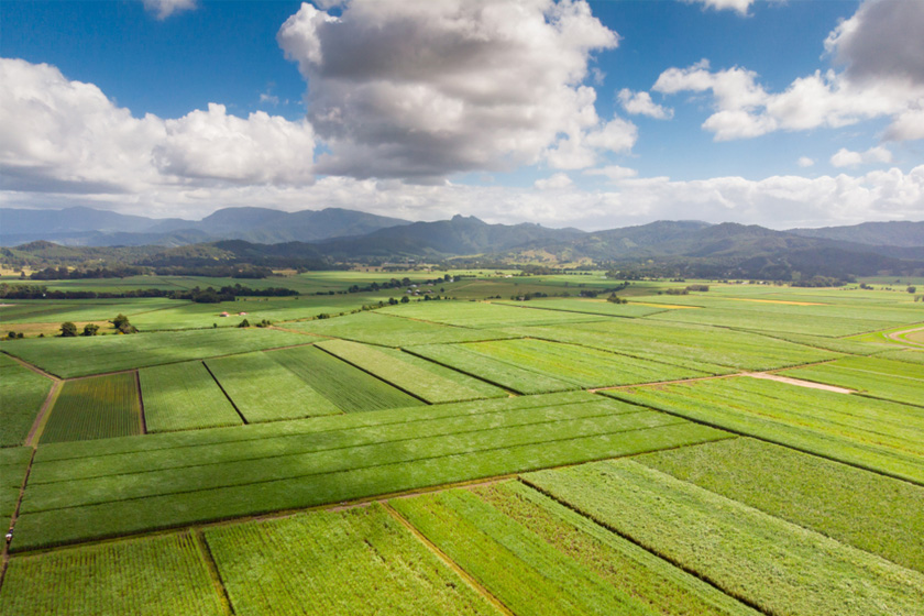
On the banks of the Tweed River, Murwillumbah has the spectacular Mt Warning as its backdrop and patch-work canefields along its river.
Pioneer settler and cattleman Joshua Bray first noted the name Murwillumbah in 1863 as his recording of the Aboriginal name for the local tribe and tribal lands between the Rous and Tweed Rivers, but it was not until 1868 that the first vessel appeared on the Tweed River. A year later sugar can began growing in the district. By 1872 the town site was surveyed, with the river the main access and transport for settlers, timber and produce.
The railway arrived in 1894 and gave a huge boost to the town, and development was rapid, until a terrible fire all but wiped out the main business area in 1907. Sadly, a couple of years ago the trains stopped running to Murwillumbah.
The town is still the centre for dairying, sugarcane and banana growing, and the famous Tweed Banana Festival, established in 1955, commemorates the agricultural strenght of the region.
The Historical Museum, located in Queensland Road gives has some interesting documents recording the area’s history.
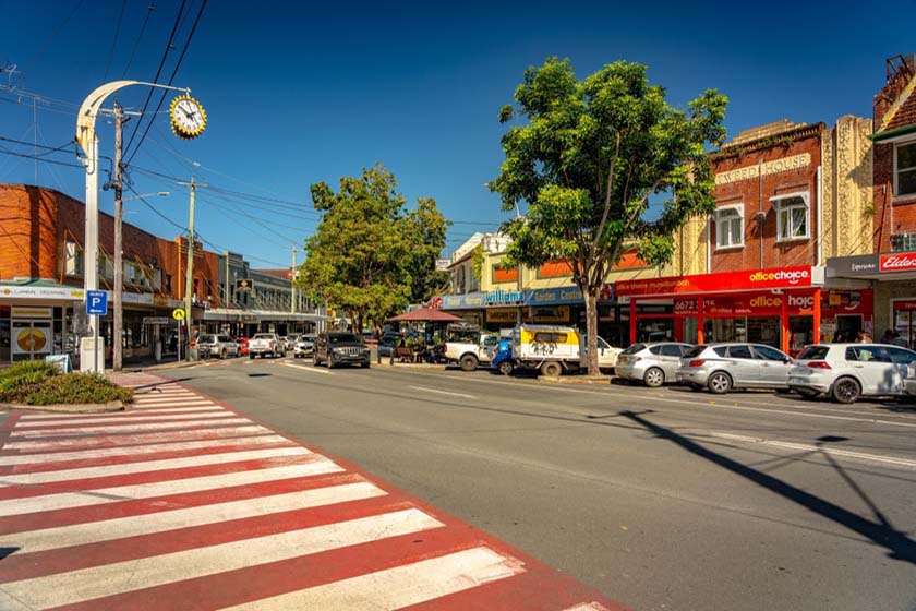
Murwillumbah has an appeal to many people and those who like to visit towns “the way we were”, with a mix of the old along with the modern.
Nearest Airport: Coolangatta, QLD
Where to stay?
About Murwillumbah
- Locality: Urban locality
- Murwillumbah Postcode: 2484
- State: New South Wales
- Region: North Coast NSW
- Latitude: -28.32641
- Longitude: 153.39598
- Elevation: 9m
- Population: 7032
- Median Income: $26468
- Area (Sq/km): 12.004
- Timezone: Australia/Sydney
Accommodation In Murwillumbah
Discover some of the accommodation in and around Murwillumbah


