Tumbarumba, NSW
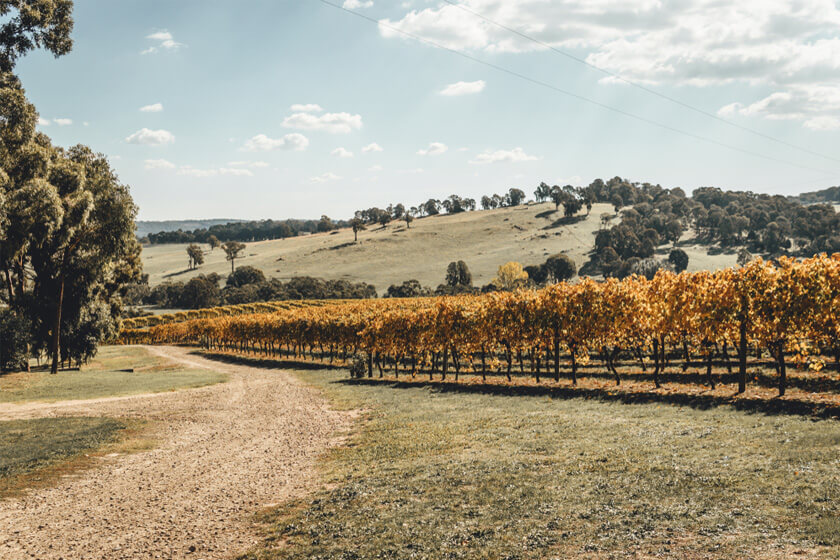
Situated in the foothills of the Snowy Mountains, this area is now establishing itself as a superb, cool-climate wine making region. Tumbarumba sprang to life in the 1850s during the gold rush era and visitors can still see restored historic buildings such as the Court House, Police Residence and Union Hotel.
Things to do and see around Tumbarumba
Tumbarumba is the town closest to the nearby Paddy’s River Falls and the halfway point for the Hume and Hovell Walking Track from Albury to Yass.
Glenroy Pioneers Women’s Hut has an excellent collection of domestic artefacts, agricultural machinery and local crafts.
Tumbafest, Tumbatrek and New Year’s Day Rodeo are well-known local events, attracting growing numbers of visitors each year.
Nearest Airport: Tumut
Where to stay?
About Tumbarumba
- Locality: Urban locality
- Tumbarumba Postcode: 2653
- State: New South Wales
- Region: Snowy Mountains
- Latitude: -35.77746
- Longitude: 148.01286
- Elevation: 652m
- Population: 1862
- Median Income: $29328
- Area (Sq/km): 231.695
- Timezone: Australia/Sydney
Accommodation In Tumbarumba
Discover some of the accommodation in and around Tumbarumba