
Shark Creek, NSW
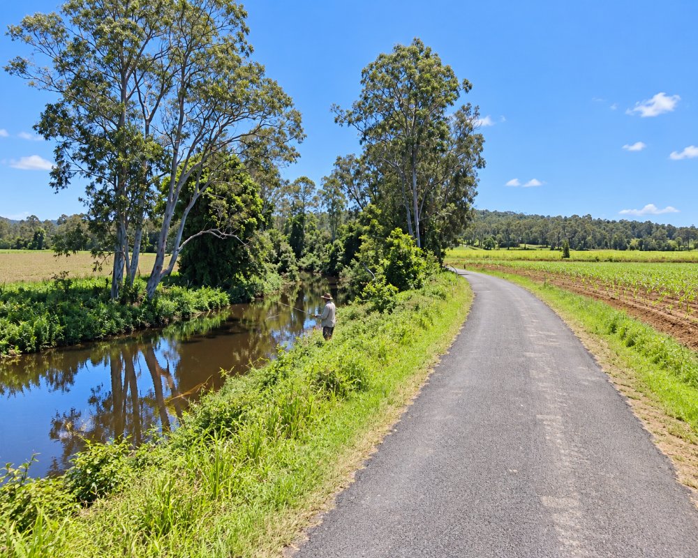
Shark Creek is a farming locality on the Clarence floodplain about eight kilometres south of Maclean. The creek of the same name winds across the cane fields to join the South Arm of the river.
Known For
- Sugar cane on the Clarence floodplain
- Creek and river fishing
- Close to Maclean
Things To Do in Shark Creek
There is nothing set up for visitors. The back roads between here and Tyndale give a good look at the cane industry, and the creek is fished by locals for bream and flathead.
Cane fires and the crush
From about June to November the harvest is in full swing, and cane trucks run on the back roads to the Harwood mill, which has crushed cane since 1874. Drive with care on the narrow lanes in crushing season.
Maclean
Maclean, about 15 km north by road, has more than 200 tartan-painted power poles, a heritage trail, riverside parks and a lookout over the cane country.
Where To Stay
There is no accommodation at Shark Creek. Maclean has motels, a pub and a caravan park.
Maclean Showground, on the river 800 metres from the main street, takes up to 10 self-contained rigs (no tents) for three nights at most, with no bookings, toilets but no showers and a dump point, and Waterview Motel on River Street has parking for longer vehicles, Club Maclean Motel next to the bowling club has 27 rooms, and the restored Argyle Hotel has suites. Near Tyndale, a riverside paddock called Wideriverwater takes self-contained campers through Hipcamp, and Brooms Head and Yamba have council holiday parks on the coast.
Eat & Drink
Eat in Maclean.
In Maclean, the Maclean Hotel on River Street serves pub meals by the river, the Argyle Hotel has reopened after restoration, and the bowling club houses Tse’s Chinese Restaurant, open for lunch and dinner Tuesday to Sunday. Local prawns are sold in town, and Maclean has supermarkets and fuel.
History
Shark Creek is Yaegl Country. The creek drains the cane lands north to the river, and the area was settled for farming in the 19th century and is still cane country.
Getting to Shark Creek
Shark Creek is off Big River Way, the old Pacific Highway, between Tyndale and Maclean.
From the Maclean exit on the M1, follow Big River Way south about 9 km, then Byrons Lane and Shark Creek Road. Roads are sealed but narrow, with cane trucks in season.
Experiences
- Rural/Country
- Self-Drive
Popular Activities
- Driving
- Fishing
- Sightseeing
About Shark Creek
- Locality: Rural locality
- Shark Creek Postcode: 2463
- State: New South Wales
- Region: North Coast NSW
- Latitude: -29.52319
- Longitude: 153.20668
- Elevation: 3m
- Population: 22
- Median Income: $54184
- Area (Sq/km): 51.774
- Timezone: Australia/Sydney
