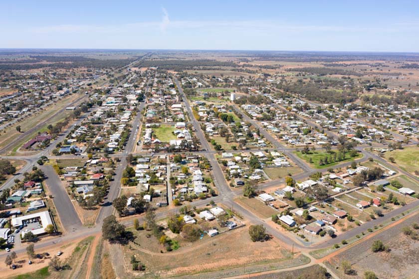
Nyngan, NSW
White settlers moved into the area in the 1840s and established the village of Canonba on the banks of Duck Creek. The village thrived for some forty years until it was bypassed with the extension of the railway to Bourke.In 1882, the people of Canonba packed up and moved south to the railway, establishing Nyngan
on the banks of the Bogan River. Nyngan has always been prone to flooding and temporary levees were built as the need arose over the years. Severe floods in 1976 led to the construction of a more permanent levee, but it was not enough to contain the Bogan when it flooded in 1990 – the entire town was airlifted to
safety in one of the State’s biggest rescue efforts. Evidence of the flood remains today in the form of markers, memorials, a higher levee and in one of the town’s nicknames, ‘Flood Town 1990’.
Nyngan is an important centre of Australia’s Wool Industry. Nyngan boasts many world famous sheep and cattle studs. A wealthy pastoral district with wool, wheat and cattle.
Nearest Airport: Nyngan
Where to stay?
About Nyngan
- Locality: Urban locality
- Nyngan Postcode: 2825
- State: New South Wales
- Region: Country NSW
- Latitude: -31.56249
- Longitude: 147.19236
- Elevation: 171m
- Population: 2159
- Median Income: $32656
- Area (Sq/km): 2142.351
- Timezone: Australia/Sydney
Accommodation In Nyngan
Discover some of the accommodation in and around Nyngan