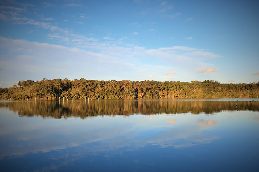
Laurieton, NSW
Just half an hour south of Port Macquarie you’ll find the seaside villages of the Camden Haven strung out along the mouth of the Camden Haven River. On the north side of the river, you’ll find North Haven with its alfresco cafes, shady barbecues, riverside picnic areas and crashing surf beach. Sleepy Dunbogan is opposite with its sheltered swimming beaches and traditional boatshed, and bustling Laurieton nestled at the foot of North Brother Mountain, is the home base for the local fishing fleet and one of the best fish co-ops on the coast.
Dooragan National Park
Dominating the skyline is majestic North Brother Mountain, in Dooragan National Park. Enjoy grand coastal views from the mountain summit, which is accessible by sealed road.
Kattang Nature Reserve
Located at Camden Head, three kilometres east of Laurieton, the beauty and natural diversity of Kattang make it ideal for bushwalking, photography, birdwatching and fishing.
Must do:
Watch the fishing fleet navigate the mouth of the Camden Haven River at sunrise.
Pick up a bargain at the Riverside Walk Markets.
Visit the Reflective Gardens at St Peter the Fisherman Catholic Church.
Enjoying a long alfresco lunch in one of the riverside cafes.
Drive to top of North Brother for spectacular views along the coast and hinterland.
Take a walk on one of the walking trails in Dooragan National Park or Kattang Nature Reserve.
The Greater Port Macquarie Visitor Information Centres can help you make the most of your time in the region.
For assistance, information and bookings,
Call: +61 2 6581 8000 or toll free 1300 303 155
Email: tourism@hastings.nsw.gov.au
Website: www.portmacquarieinfo.com.au
Where to stay?
About Laurieton
- Locality: Suburb
- Laurieton Postcode: 2443
- State: New South Wales
- Region: North Coast NSW
- Latitude: -31.65023
- Longitude: 152.79818
- Elevation: 6m
- Population: 1986
- Median Income: $23244
- Area (Sq/km): 4.335
- Timezone: Australia/Sydney
Accommodation In Laurieton
Discover some of the accommodation in and around Laurieton