
Nightcap National Park, NSW
Nightcap National Park covers the Nightcap Range, the southern rim of the ancient Tweed volcano, about 45 minutes from Byron Bay and Lismore. Its rainforest is part of the Gondwana Rainforests World Heritage Area and receives some of the highest rainfall in the state.
The park has three separate visitor areas, each reached by a different road.
Known For
- Minyon Falls
- Protesters Falls and Terania Creek
- Rainforest walks at Mount Nardi
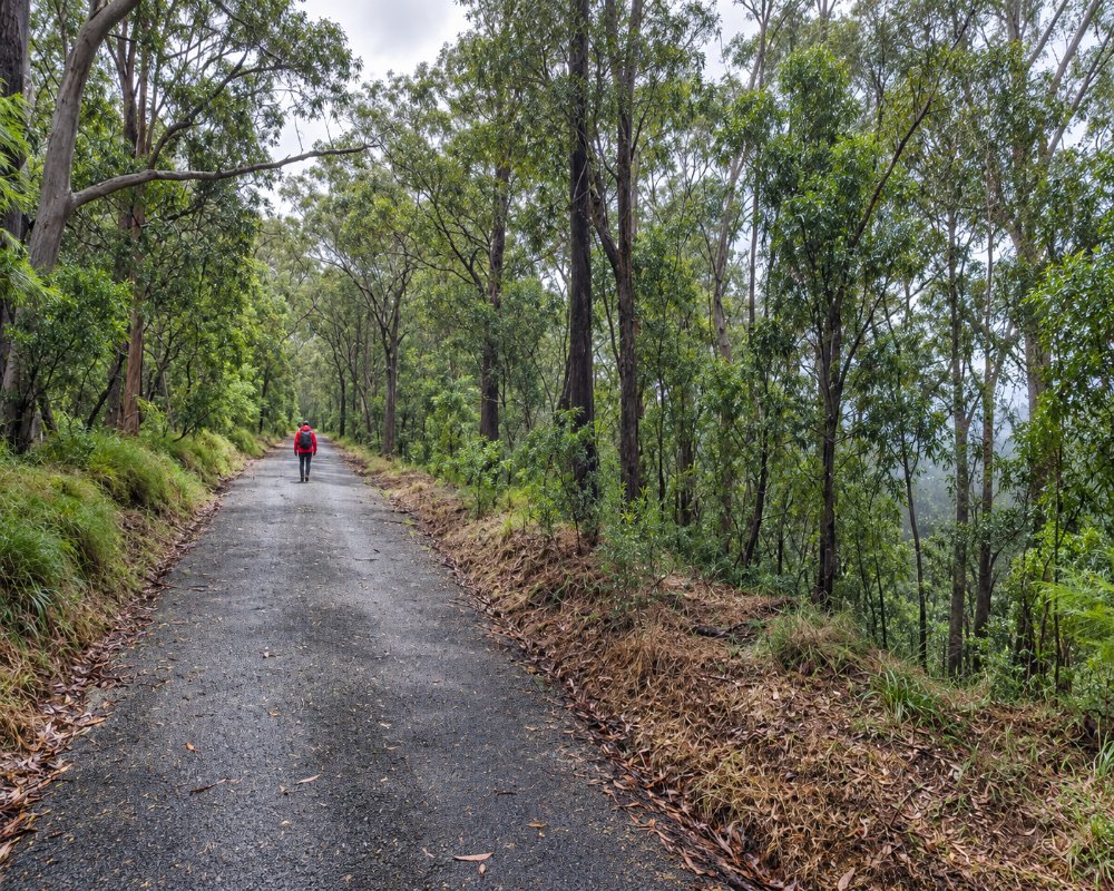
Things To Do in Nightcap National Park
Minyon Falls
Repentance Creek drops about 100 metres over a rhyolite cliff into a palm-filled gorge. A lookout beside the car park gives the classic view, and a walking track of three to four hours (grade 3) leads down to the base. Nightcap Range Road, the approach over the range from the Dunoon side, has been closed by a landslip since the 2022 floods, with no repair date, so approach by Minyon Falls Road from the Federal and Repentance Creek side, and check park alerts.
Protesters Falls
From the end of Terania Creek Road, north of The Channon, a walk of 1.4 kilometres return, with many steps, leads through bangalow palms to the falls. In 1979 this valley was the scene of the first successful forest blockade in Australia. Swimming is not allowed, to protect an endangered frog.
Mount Nardi
A sealed road climbs from Nimbin to 800 metres, where tracks lead to Mount Matheson and Pholis Gap, with views to Wollumbin.
Minyon Grass
Minyon Grass picnic area, about 1.7 km past the lookout on the unsealed Minyon Falls Road, looks back across the gorge to the falls, and a walk of about 4 km return drops to the plunge pool at the base. The road can turn boggy in rain.
Whian Whian mountain bike trails
Whian Whian State Conservation Area, beside the park around Rummery Park, has about 46 km of forest roads and trails open to mountain bikes; while Nightcap Range Road is closed, ride in from the Minyon Falls Road side.
Where To Stay
Rummery Park, near Minyon Falls in the adjoining Whian Whian conservation area, has a campground. The villages around the park have cabins, retreats and farm stays.
Rummery Park has 18 marked, unpowered sites for tents, camper trailers and caravans, with toilets and picnic tables but no water; bring drinking water and firewood, and book through NPWS. The only way in is Minyon Falls Road from the Rosebank and Federal side. For powered sites, Nimbin has Nimbin Crystal Tourist Park and the showground, and Lismore Centra Tourist Park, 60 Dawson Street, has 74 sites, including slabs for buses and big vans, and takes pets.
Eat & Drink
There are picnic areas at Minyon Falls, Terania Creek and Mount Nardi but no shops. Federal, The Channon and Nimbin have cafes and stores.
On the Minyon Falls side, Federal has the Federal Doma Cafe and Moonshine Coffee, and Clunes has the Clunes Store and Cellars. On the Terania Creek side, The Channon Tavern, in the old butter factory, serves pub meals from midday, and the general store has picnic supplies. In Nimbin, the Nimbin Bakery on Cullen Street bakes its pies on site, and the Nimbin Hotel’s Mended Drum Bistro is open seven days.
History
The Widjabul Wia-bal people of the Bundjalung nation are the traditional owners. The park was created in 1983, after the Terania Creek and Mount Nardi protests led the state government to end rainforest logging.
The Nightcap Range is the southern rim of the Tweed volcano, built from lava flows about 20 million years ago. In 1979 protesters blockaded logging at Terania Creek for a month, the first rainforest anti-logging protest in Australia, and the park was declared on 22 April 1983.
Getting to Nightcap National Park
For Minyon Falls, drive from Bangalow or Mullumbimby through Federal or Goonengerry. For Protesters Falls, go through The Channon; for Mount Nardi, through Nimbin. Roads are narrow, partly unsealed and can close after heavy rain.
Do not follow older directions via Dunoon and Nightcap Range Road, which is closed. Newton Drive to Mount Nardi is narrow and steep, so leave caravans in town except on the Minyon Falls Road run to Rummery Park.
Experiences
- Eco Tourism
- Nature based
Popular Activities
- Bird Watching
- Bush Walking
- Caravan and Camping
- Mountain Biking
- National Park
- Rainforest
- Sightseeing
- Wildlife
About Nightcap National Park
- Locality: National Park
- Nightcap National Park Postcode: 2480
- State: New South Wales
- Region: North Coast NSW
- Latitude: -28.6140
- Longitude: 153.3890
- Timezone: Australia/Sydney
