
Rosebank, NSW
Rosebank is a hamlet in the hills about 25 minutes north-east of Lismore, on the road that links Clunes and Dunoon with Federal.
Known For
- Macadamia and coffee farms
- Views to the Nightcap Range
- Close to Minyon Falls
Things To Do in Rosebank
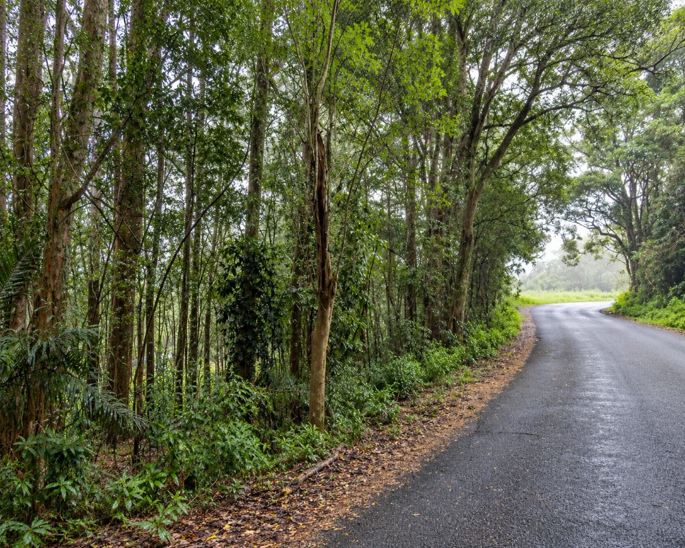
There is a public school and a few houses, with macadamia and coffee farms in the district. Minyon Falls, in Nightcap National Park, is reached from the Repentance Creek side to the north-east; follow Minyon Falls Road, as the other approach over the range has been closed by a landslip.
The road to Minyon Falls
Rosebank is the closest village to Minyon Falls while Nightcap Range Road is closed. Follow Repentance Creek Road, Upper Coopers Creek Road and Minyon Falls Road, about 9 km; the last stretch is gravel and can be boggy after rain.
Federal and Clunes
Federal, about 13 km north-east, has the Federal Doma Cafe, run by two Japanese chefs since 2012, and Moonshine Coffee. Clunes, to the south, has the Clunes Store and Cellars and Uncle Peter’s Books, a second-hand bookshop with more than 25,000 titles.
Where To Stay
There are farm stays and cottages in the district. Bangalow and Lismore have more.
Rummery Park in Whian Whian State Conservation Area has 18 unpowered NPWS sites that take caravans and camper trailers, with toilets but no drinking water, about 10 km north via Minyon Falls Road. For powered sites, Lismore Centra Tourist Park, 60 Dawson Street, has 74 sites, including slabs for buses and big vans, and takes pets, and Nimbin has a tourist park and showground camping. The roads around Rosebank are sealed but narrow and steep in places, so big rigs should check the route.
Eat & Drink
There are no shops in Rosebank. Federal and Clunes have stores and cafes.
The Federal Doma Cafe is at 6 Albert Street, and Clunes has the Clunes Store and Cellars, a general store, cafe, bottle shop and post office in one. Dunoon, about 12 km west, has a general store and a sports club with meals. Fill up in Lismore or Bangalow.
History
Rosebank is in the country of the Widjabul Wia-bal people of the Bundjalung Nation. Like the country around Dunoon, it was cleared for dairy farms and is now mostly macadamia orchards and small farms, and Rosebank Public School still serves the district.
Getting to Rosebank
From Clunes follow Rosebank Road north for about 12 to 15 kilometres.
From Lismore, take Dunoon Road through Dunoon and turn right into Repentance Creek Road, about 24 km. The roads are sealed but narrow and hilly.
Experiences
- Nature based
- Rural/Country
- Self-Drive
Popular Activities
- Bush Walking
- Driving
- National Park
- Sightseeing
About Rosebank
- Locality: Rural locality
- Rosebank Postcode: 2480
- State: New South Wales
- Region: North Coast NSW
- Latitude: -28.66349
- Longitude: 153.39218
- Elevation: 182m
- Population: 413
- Median Income: $26884
- Area (Sq/km): 29.763
- Timezone: Australia/Sydney
