
Waterview Heights, NSW
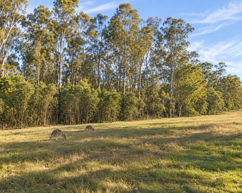
Waterview Heights is a rural-residential area on the Gwydir Highway about ten minutes west of South Grafton. Houses on acreage spread over rising ground above the Clarence River.
Known For
- Acreage living near Grafton
- The start of the Gwydir Highway
- Access to the river above the city
Things To Do in Waterview Heights
There are no visitor attractions. The area is a convenient jumping-off point for the Gwydir Highway drive to the Gibraltar Range, and the river nearby is used for water skiing and fishing.
The Gwydir Highway west
Waterview Heights is the start of the Gwydir Highway drive to Glen Innes, about 150 km, through Jackadgery and up the Gibraltar Range, a sealed but steep, winding climb. Washpool and Gibraltar Range national parks have walks, granite outcrops and campgrounds near the top.
The river at Seelands
Rogan Bridge Road leads north to the Clarence at Seelands, where the holiday park sits on a stretch of river used for water skiing.
Grafton and the jacarandas
Grafton, 11 km east, is the Jacaranda City. Its streets turn purple in late October and early November for the Jacaranda Festival, and the riverside parks, the 1932 Bendy Bridge and the heritage buildings of the city centre are worth a half day at any time.
Where To Stay
There is no visitor accommodation to speak of. Stay in South Grafton or Grafton.
Grafton Sunset Caravan Park, about 8 km east on the Gwydir Highway, has drive-through and powered sites, ensuite cabins, a camp kitchen and a dump point. The BIG4 Big River Holiday Park & Ski Lodge at Seelands, about 15 minutes north, has grass and slab powered sites, cabins, riverfront villas and a pool, and takes dogs on selected sites, and Grafton Showground takes overnight campers and has a dump point.
Eat & Drink
South Grafton has supermarkets, pubs and cafes.
Grafton, across the river, has the Crown Hotel and Roches Family Hotel for pub meals. Fill up with fuel in South Grafton before heading west, as services are few before Glen Innes.
History
Waterview Heights is on Gumbaynggirr Country, south of the Clarence. It is a rural-residential area of acreage blocks on former farmland, with no village centre, and about 1,360 people lived here at the 2021 census.
Getting to Waterview Heights
Follow the Gwydir Highway west from South Grafton for about ten minutes.
The highway is sealed and suits caravans, and Busways buses from Grafton serve the area.
Experiences
- Rural/Country
- Self-Drive
Popular Activities
- Caravan and Camping
- Driving
- Fishing
- Sightseeing
About Waterview Heights
- Locality: Rural locality
- Waterview Heights Postcode: 2460
- State: New South Wales
- Region: North Coast NSW
- Latitude: -29.70238
- Longitude: 152.83823
- Elevation: 64m
- Population: 1325
- Median Income: $25532
- Area (Sq/km): 58.332
- Timezone: Australia/Sydney
