
Seelands, NSW
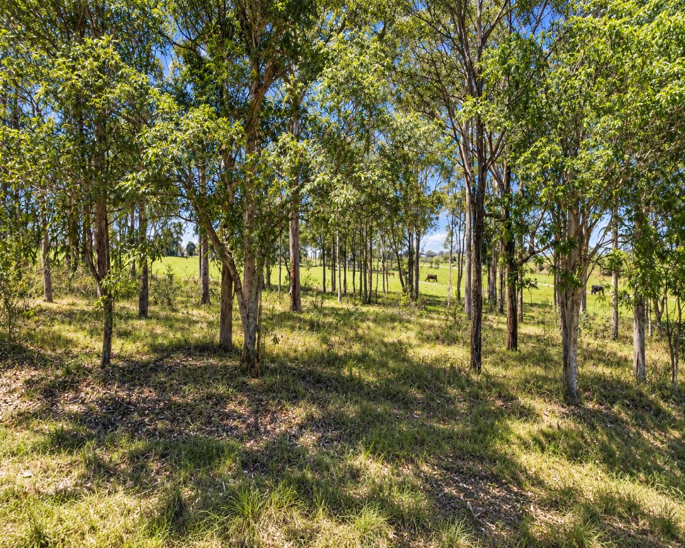
Seelands is a rural locality about 15 to 20 minutes north-west of Grafton, set on a big bend of the Clarence River.
Known For
- A wide reach of the Clarence River
- Water skiing and boating
- Farms close to Grafton
Things To Do in Seelands
This stretch of river is wide, deep and sheltered, and it is the home water of local water skiers. It is also fished for bass. Rogan Bridge Road and Seelands Hall Road lead in from the Gwydir Highway; the Clarence Way to Copmanhurst runs up the far side of the river.
The Bridge to Bridge Ski Classic
The holiday park here grew out of a ski lodge, and each October the Bridge to Bridge Ski Classic races down the Clarence from Grafton, one of the toughest water-ski races in the world, with crowds lining the banks; check dates with the organisers.
Fishing and paddling
The river holds Australian bass, catch-and-release only in rivers from May to August, and there are boat ramps at the holiday park and at the B&B wharf for guests. Paddlers can explore the quieter backwaters, but watch for ski boats on weekends.
Where To Stay
There is a riverside caravan and camping park in the district. Grafton has motels and hotels.
The park at 166 Ski Lodge Road is the BIG4 Big River Holiday Park & Ski Lodge, with grass and slab powered sites, cabins, villas, a pool, a camp kitchen, a boat ramp, a small shop and a dump point; dogs are allowed on a lead but not in cabins. The Clarence River Bed & Breakfast at 17 Riverstone Road has four rooms with balconies over the river and a cottage, but takes no pets or guests under 18. Copmanhurst Recreation Reserve, about 20 km north-west, has low-cost riverside camping with showers and room for big rigs.
Eat & Drink
There are no shops apart from the holiday park’s kiosk. Grafton is 15 to 20 minutes away.
In Grafton, the Crown Hotel’s bistro and terrace face Susan Island, Roches Family Hotel on Victoria Street serves good-value meals, and Rubony’s Cafe and the Our Place bakery are good for coffee. South Grafton has supermarkets, fuel and Naeco Blue Seafoods; there is no fuel at Seelands.
History
Seelands lies on the south-west bank of the Clarence, which near Grafton has traditionally been the boundary between Bundjalung Country to the north and Gumbaynggirr Country to the south. River-flat farms were taken up in the second half of the 1800s, and the Seelands public school opened in November 1889.
Getting to Seelands
From Grafton cross to South Grafton, head west on the Gwydir Highway, then turn right into Rogan Bridge Road and Seelands Hall Road; allow 15 to 20 minutes.
The roads are sealed and suit caravans, and XPT trains stop at Grafton station in South Grafton.
Experiences
- Nature based
- Relaxation
- Rural/Country
Popular Activities
- Caravan and Camping
- Fishing
- Kayaking
- Sightseeing
- Swimming
About Seelands
- Locality: Rural locality
- Seelands Postcode: 2460
- State: New South Wales
- Region: North Coast NSW
- Latitude: -29.6151
- Longitude: 152.91382
- Elevation: 29m
- Population: 420
- Median Income: $30004
- Area (Sq/km): 28.417
- Timezone: Australia/Sydney
Accommodation In Seelands
Discover some of the accommodation in and around Seelands
