
Jackadgery, NSW
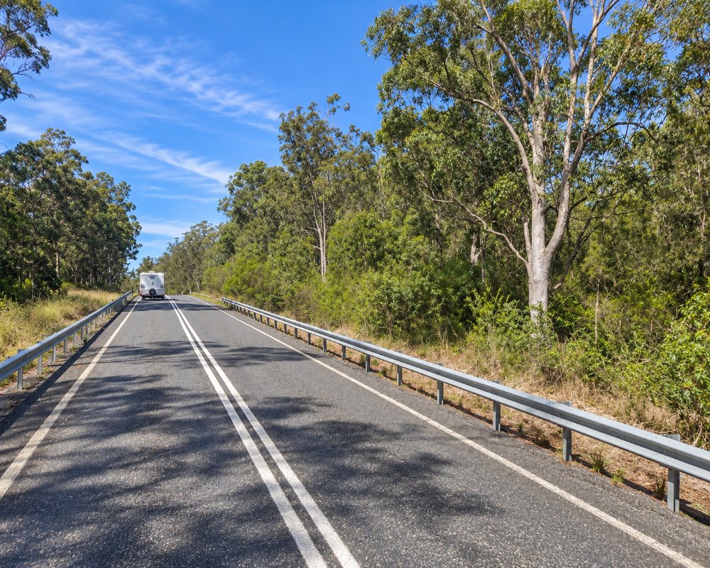
Jackadgery is a tiny settlement on the Mann River, about 45 kilometres west of Grafton, where the Gwydir Highway crosses the river before climbing the Gibraltar Range.
Known For
- The Mann River
- Camping, swimming and canoeing
- The gateway to Gibraltar Range and Washpool national parks
Things To Do in Jackadgery
The river is clear and rocky, with swimming holes, bass fishing and white water after rain. Gold fossickers still try their luck in the gravels. Beyond Jackadgery the highway climbs to the granite country and rainforest of Gibraltar Range and Washpool national parks.
Canoeing the Mann River
The Mann is part of the Clarence Canoe and Kayak Trail, and the caravan park has river access for canoe and fishing trips. The river runs clear over granite and gravel, with Australian bass in the pools and rapids that grow after rain.
Raspberry Lookout
Raspberry Lookout, a short sealed side road off the highway in Gibraltar Range National Park, looks over the Bindery-Mann wilderness, and Mulligans campground and the Needles walk are further up the range. Park entry is $8 a vehicle a day.
Where To Stay
A riverside caravan and camping park at the bridge has sites and cabins. Grafton has motels.
The Mann River Caravan Park at the bridge has camp sites by the river, a pool and cabins from budget to the River Cottage, which sleeps 11, with pets allowed outside cabins; book online. Westbury Downs, a working cattle farm across the road, has bush camp sites through Hipcamp. Up the range, NPWS Mulligans campground takes caravans, and Bellbird suits small vans. The highway is sealed, but the Gibraltar Range climb is long and steep, so check brakes and use a low gear.
Eat & Drink
The park’s shop is also the service station, with takeaway food, groceries, ice, gas, a bottle shop and an Australia Post agency, open seven days. Otherwise bring supplies from Grafton.
Fill up here or in South Grafton if you are heading west: the next fuel is Glen Innes, about 115 km away over the range, with no shops on the way.
History
Visit NSW places Jackadgery in Gumbaynggirr Country. The settlement grew as a small gold-mining place on the Mann, and a few prospectors still pan and fossick here. The road over the Gibraltar Range that became the Gwydir Highway opened in 1960, replacing the slow Old Glen Innes Road further south.
Getting to Jackadgery
Follow the Gwydir Highway west from South Grafton for about 45 minutes.
From Glen Innes it is about 115 km east, about 1 hour 30 minutes.
Experiences
- Nature based
- Relaxation
- Rural/Country
Popular Activities
- Canoeing
- Caravan and Camping
- Fishing
- Kayaking
- National Park
- Swimming
About Jackadgery
- Locality: Rural locality
- Jackadgery Postcode: 2460
- State: New South Wales
- Region: North Coast NSW
- Latitude: -29.58218
- Longitude: 152.56093
- Elevation: 124m
- Population: 92
- Median Income: $28340
- Area (Sq/km): 342.482
- Timezone: Australia/Sydney
Accommodation In Jackadgery
Discover some of the accommodation in and around Jackadgery
