
Yarraman, NSW
Yarraman is a rural locality on Yarraman Creek, on the western side of the Liverpool Plains between Quirindi and Coolah. About ten people live there. It should not be confused with the locality of the same name near Moree, or with the town in Queensland.
Known For
- Liverpool Plains farmland
- The Liverpool Range
- Quiet back roads
Things To Do in Yarraman
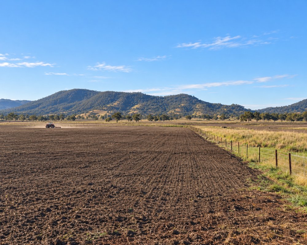
This is cropping and grazing country below the Liverpool Range, crossed by back roads between the Black Stump Way and the Kamilaroi Highway. There is no village and nothing for visitors to stop for.
Liverpool Range country
The Liverpool Range runs along the southern skyline, and the back roads through Yarraman give a sense of how big the Liverpool Plains cropping country is. Yarraman Creek, which drains the locality, floods after heavy rain.
Where To Stay
There is nowhere to stay. Quirindi and Coolah both have caravan parks.
Quirindi Caravan Park, about 66 km east, is a council park that runs unattended with a number-plate boom gate, so book through the council; the public dump point is at Rose Lee Park, 100 Loder Street. Liverpool Plains Shire Council runs three donation camps, at Currabubula Recreation Ground, David Taylor Oval in Werris Creek and the First Fleet Memorial Garden at Wallabadah, each with free hot showers, toilets, gas barbecues and a 72-hour limit. Coolah, about 86 km south-west, has a caravan park, and Coolah Tops National Park’s NPWS campgrounds are reached by a partly gravel road that closes in wet weather.
Eat & Drink
There are no services.
Carry water and food. Quirindi has Club Quirindi, pubs, supermarkets and fuel, and Coolah has the Black Stump Inn. Fill up before driving the back roads.
History
Yarraman is Gamilaraay (Kamilaroi) country, taken up for grazing and later cropping. There is no village, only scattered farms, and about ten people live in the locality.
Getting to Yarraman
The roads in the district are a mix of sealed and gravel. Black-soil sections are slippery when wet.
The nearest sealed highway is the Kamilaroi Highway at Quirindi.
Experiences
- Remote
- Rural/Country
- Self-Drive
Popular Activities
- Driving
- Sightseeing
About Yarraman
- Locality: Rural locality
- Yarraman Postcode: 2343
- State: New South Wales
- Region: Country NSW
- Latitude: -31.66944
- Longitude: 150.14975
- Elevation: 484m
- Population: 11
- Median Income: $58500
- Area (Sq/km): 119.234
- Timezone: Australia/Sydney
Accommodation In Yarraman
Discover some of the accommodation in and around Yarraman
