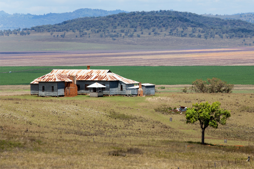
Quirindi, NSW
Quirindi is located only 16klms from the New England Highway on the scenic Kamilaroi Highway in the heart of the Liverpool Ranges. A friendly town of 3000 people, the area is rich in rural heritage.
Spectacular views of the Great Dividing Range and the Liverpool Plains are available from Who’d a Thought it Lookout. The Liverpool Plains are regarded as the richest agricultural area in NSW supporting everything from boutique olive plantations to rolling fields of sunflowers.
Several farm stays provide attractive accommodation and there are a number of pleasant drives along rustic bush tracks through sparkling creeks and green pastures.
Rose Lee Park on the banks of Quirindi Creek provides a pleasant break for travelers and the main street has a good range of eateries.
Nearest Airport: Tamworth (56km)
Where to stay?
Popular Activities
- Golfing
About Quirindi
- Locality: Urban locality
- Quirindi Postcode: 2343
- State: New South Wales
- Region: Country NSW
- Latitude: -31.50815
- Longitude: 150.68005
- Elevation: 397m
- Population: 3444
- Median Income: $29120
- Area (Sq/km): 415.76
- Timezone: Australia/Sydney
Accommodation In Quirindi
Discover some of the accommodation in and around Quirindi


