
Worrigee, NSW
Worrigee is a suburb on the south-eastern edge of Nowra, made up largely of housing estates built since the 1990s.
Known For
- A golf course and large club
- New housing on the edge of town
- A wetland nature reserve
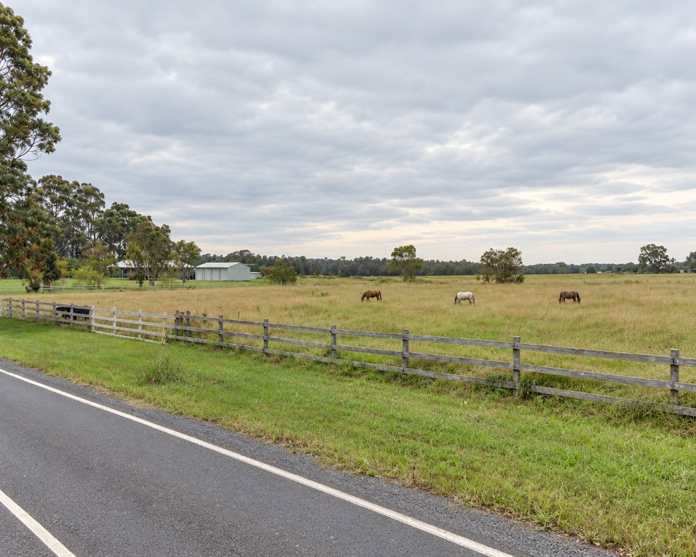
There is little here for a traveller, and it would be misleading to list attractions. The ex-servicemen’s club, now the Worrigee Sports Club, has an 18-hole golf course and restaurants, with the Springs Shoalhaven motel beside the course, and Worrigee Nature Reserve protects a patch of forest and swamp behind the houses.
Things To Do around Worrigee
Worrigee Links
Worrigee Links, opened in 2005, is an 18-hole course rated among the best layouts on the coast, with a pro shop and lawn bowls at the club; visitors can book a round, and Springs Shoalhaven next door offers stay-and-play deals.
Greenwell Point and Terara
About 10 km east along Greenwell Point Road, Greenwell Point is a fishing village on the Crookhaven River known for oysters and fish and chips by the water, and on the way Terara is a quiet riverside village that was once Nowra’s rival as the main river port.
Where To Stay
Springs Shoalhaven, beside the golf course, has 46 motel rooms, and Nowra has many more.
In Nowra, about 5 km west, Nowra Riverside Tourist Park on Pleasant Way, beside the bridge, has 59 powered sites with drive-through bays for big rigs (no cabins), North Nowra Riverfront Caravan Park on Rock Hill Road has powered and unpowered sites on the river, and the council’s Nowra Showground camping on West Street takes caravans and campervans only, with power, showers and a dump point.
Eat & Drink
The Worrigee Sports Club has the Pepper Trees Bistro and The Growers restaurant, with views across the golf course, and Worrigee Shopping Village has a supermarket, bakery and bottle shop. In Nowra, Hit N Run on Junction Street roasts its own coffee, BridgeHaus on Bridge Road does tapas and drinks as a social enterprise, Farmgate by Harry Sawkins Park does wood-fired pizza, Two Brown Men on Kinghorne Street cooks modern Indian, and Nowra Fresh Fish and Meat Markets on East Street sells local seafood.
History
Worrigee is in the country of the Yuin peoples of the Shoalhaven. For most of its history this was low, swampy farmland between Nowra and the river villages of Terara and Numbaa; Worrigee Nature Reserve now protects the forest and swamp to the west and Brundee Swamp Nature Reserve the wetland to the east. Housing estates have spread across the farmland since the 1990s.
Getting to Worrigee
From Nowra, follow Greenwell Point Road east and turn into Worrigee Road.
From Sydney it is about 165 km by the M1 and Princes Highway, on sealed roads that suit caravans, and trains end at Bomaderry, about 8 km away.
Experiences
- Historic/Heritage
- Rural/Country
Popular Activities
- Bird Watching
- Caravan and Camping
- Fishing
- Golfing
- Shopping
- Sightseeing
About Worrigee
- Locality: Suburb
- Worrigee Postcode: 2540
- State: New South Wales
- Region: South Coast
- Latitude: -34.89037
- Longitude: 150.62607
- Elevation: 8m
- Population: 5068
- Median Income: $31720
- Area (Sq/km): 16.932
- Timezone: Australia/Sydney
