
Turrawan, NSW
Turrawan is a hamlet on the Kamilaroi Highway, 25 km south-east of Narrabri and 36 km north-west of Boggabri. It grew as a railway siding and grain delivery point in the 1880s and once had a school, a post office and a station.
Known For
- A former railway village
- Views of the Nandewar Range
- Farming and coal country
Things To Do in Turrawan
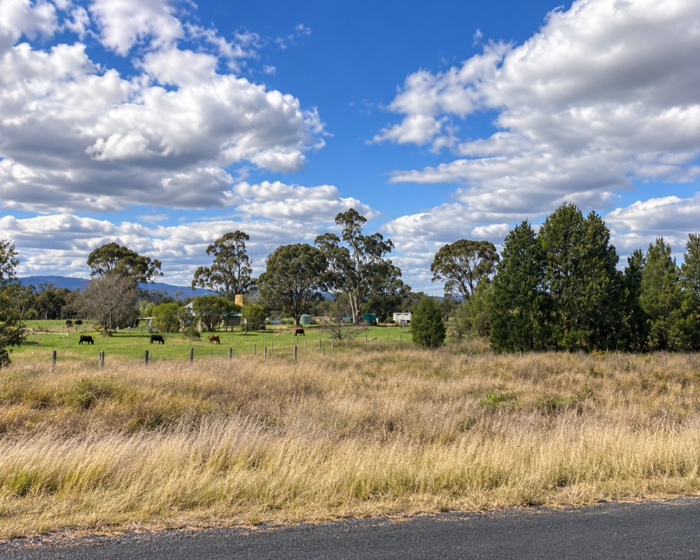
Today Turrawan is a group of houses, a rural fire shed and tennis courts. There is nothing for visitors to stop for apart from the view across the plains to the Nandewar Range.
Coal country
Whitehaven’s Narrabri underground mine lies just south of Turrawan, and its coal goes by rail to Newcastle on a line upgraded to link with Inland Rail. Expect coal trains and mine traffic on the highway.
Views to the Nandewar Range
On a clear day the Nandewar Range and the high country of Mount Kaputar National Park stand out to the east. The park’s summit road starts from Narrabri, about 20 minutes away.
Gins Leap and Boggabri
Gins Leap, a sheer rock face beside the highway 5 km north of Boggabri, has a rest area and a sign telling the story of the early inn that stood at its foot. Boggabri’s museum and tractor shed are a few minutes beyond.
Where To Stay
There is nowhere to stay. Narrabri is 15 minutes away.
Narrabri has the shire’s widest choice of caravan parks, motels and pub rooms, the Railway Hotel at Baan Baa has simple rooms, and Boggabri has the council caravan park and a motel. All are on the sealed Kamilaroi Highway.
Eat & Drink
There are no shops. Narrabri and Boggabri have fuel and food.
The Railway Hotel at Baan Baa is the nearest country pub. If you are heading up Mount Kaputar, buy food and fuel in Narrabri first.
History
Turrawan is Kamilaroi country. The railway from Boggabri to Narrabri opened through the district in 1882, and it grew as a farming district of wheat, cattle and later cotton. Since the 2000s coal has changed the district, with the Narrabri mine just south and the rail line north rebuilt for coal trains.
Getting to Turrawan
Turrawan is on the Kamilaroi Highway.
It is about 25 km south-east of Narrabri, sealed all the way, but it carries mine traffic.
Experiences
- Rural/Country
- Self-Drive
Popular Activities
- Driving
- Sightseeing
About Turrawan
- Locality: Rural locality
- Turrawan Postcode: 2390
- State: New South Wales
- Region: Country NSW
- Latitude: -30.45648
- Longitude: 149.88575
- Elevation: 253m
- Population: 72
- Median Income: $42640
- Area (Sq/km): 84.292
- Timezone: Australia/Sydney
