
Tarpeena, SA
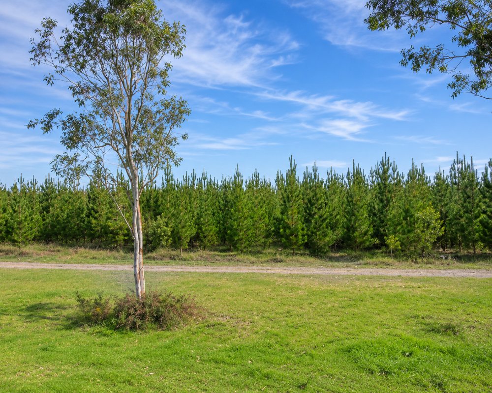
Tarpeena is a town of about 330 people on the Riddoch Highway, some 22 kilometres north of Mount Gambier on the way to Penola. Pine plantations surround it, and one of the largest timber mills in the region stands beside the road.
It lies between Mount Gambier and Penola, both of which have everything a traveller needs. Tarpeena is a working town with little to see, though it has one of the handiest free camps on the highway.
Known For
- A free camp with a dump point at the recreation park
- A working timber town among pine forests
- A quiet stop between Penola and Mount Gambier
Things To Do in Tarpeena
Around Town
The mill, which was expanded in 2024 to make engineered timber for multi-storey buildings, is not open to visitors, but log trucks and stacks of sawn pine give a sense of the industry that sustains this corner of the state. The town has small parks and a sports ground.
In 2026 the council added 1.2 km of lighting along the shared path beside the recreation reserve, making it an easy evening stroll from the camp. A new playground with two play structures, swings and all-ages exercise equipment was approved for the reserve in October 2026 and is due to be built in the months ahead.
Nangwarry Forestry Museum
Ten minutes north on the highway, the volunteer-run museum at Nangwarry shows how the pine forests around Tarpeena were planted, logged and milled, with early harvesters, log trucks and a display on the 1983 Ash Wednesday fires.
Where To Stay
There is no motel or caravan park.
The Tarpeena Recreation Park in Edward Street has long offered free camping on the edge of the oval, with toilets, drinking water, barbecues, a playground and a dump point, though no showers. Fires are not allowed and pets are welcome. Check the signs for the current time limit.
The campground around the oval is run with the Tarpeena Progress Association. Tarpeena is in the Southern Limestone Coast Council, the new name of the District Council of Grant, which in late 2025 began talks with the association about moving the camp onto its online booking system, as it has done with other council sites. Check the signs or the council’s website for booking rules before you settle in, especially over Christmas and Easter.
Other free stops close by include the Kalangadoo Railway Reserve, about 15 km north-west, and Lake Leake near Glencoe, where volunteers look after an overnight area for self-contained vans beside the crater lake.
For a powered site or a cabin, Mount Gambier, about 22 km south, has the widest choice of holiday parks and motels. Penola, about 28 km north, has a caravan park and a free stop at Greenrise Lake, and Millicent, about 50 km west, has two caravan parks and a low-cost RV park at the showground.
Eat & Drink
There is little food on offer in Tarpeena. Penola and Mount Gambier are each about 20 minutes away.
The Pines Hotel on the Riddoch Highway is Tarpeena’s long-running country pub and hosts community lunches, including the Nangwarry forestry museum’s Christmas lunch. Check opening hours before you go, as meal times can be limited.
The Kalangadoo Hotel, about 15 km north-west, serves counter meals in its dining room, and the weekly Kalangadoo Farmers Market at 19 Eliza Street has a cafe and barbecue among the produce stalls.
For a wider choice, Mount Gambier, about 22 km south, has the region’s main cafes, restaurants and supermarkets, and Penola, about 28 km north, has bakeries and cafes on the edge of the Coonawarra wine country. Stock up in either town before you set up camp at the oval.
History
Pastoralists arrived in the 1840s and the town was surveyed in 1860. The name comes from an Aboriginal phrase said to mean red gum tree.
Getting to Tarpeena
Tarpeena is on the Riddoch Highway, about four and a half hours from Adelaide.
Experiences
- Active
- Caravan and Camping
- Rural/Country
- Self-Drive
Popular Activities
- Bush Walking
- Caravan and Camping
- Driving
- Sightseeing
About Tarpeena
- Locality: Urban locality
- Tarpeena Postcode: 5277
- State: South Australia
- Region: Limestone Coast
- Latitude: -37.6272
- Longitude: 140.79597
- Elevation: 74m
- Population: 414
- Median Income: $23712
- Area (Sq/km): 39.138
- Timezone: Australia/Adelaide
