
Nangwarry, SA
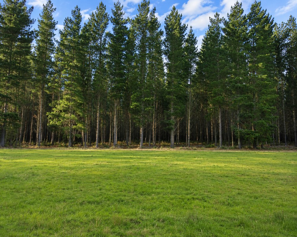
Nangwarry is a town of about 450 people on the Riddoch Highway, 19 kilometres south of Penola and 32 kilometres north of Mount Gambier. It was built for the workers of a state sawmill and is surrounded by pine plantations in every direction.
The big mill closed in 2018, and the town is quieter than it was. It sits between Penola and Mount Gambier, which have the accommodation and shops, and is worth a stop for its museum.
Known For
- The Nangwarry Forestry and Logging Museum
- A short forest information walk
- Pine plantation country
Things To Do in Nangwarry
Forestry and Logging Museum
Run by volunteers, the museum has an early log harvester, a post-war log truck, saws, a single man’s hut and film of forestry work in the 1920s. It opens on Sundays and public holidays and at other times by arrangement, with a small entry fee. Allow an hour and a half.
Forest Information Walk
An easy one kilometre walk with a picnic area explains how the pine forests are planted, thinned and harvested.
Swimming Pool
The town pool, saved by volunteers after the council closed it, opens on warm days in summer.
Where To Stay
There is no accommodation or campground in Nangwarry.
Penola has a caravan park and a free two-night stop for self-contained vehicles at Greenrise Lake, and Tarpeena, ten minutes south, has free camping at its recreation park.
Eat & Drink
The general store sells fuel, takeaway and supplies. There is no pub or cafe.
History
Nangwarry grew up around a government sawmill in the pine forests planted from the early twentieth century, and was formally proclaimed a town only in 1974.
Getting to Nangwarry
Nangwarry is on the Riddoch Highway, about four and a quarter hours from Adelaide.
Experiences
- Rural/Country
- Self-Drive
Popular Activities
- Driving
- Sightseeing
About Nangwarry
- Locality: Urban locality
- Nangwarry Postcode: 5277
- State: South Australia
- Region: Limestone Coast
- Latitude: -37.5441
- Longitude: 140.81434
- Elevation: 74m
- Timezone: Australia/Adelaide
