
Stotts Creek, NSW
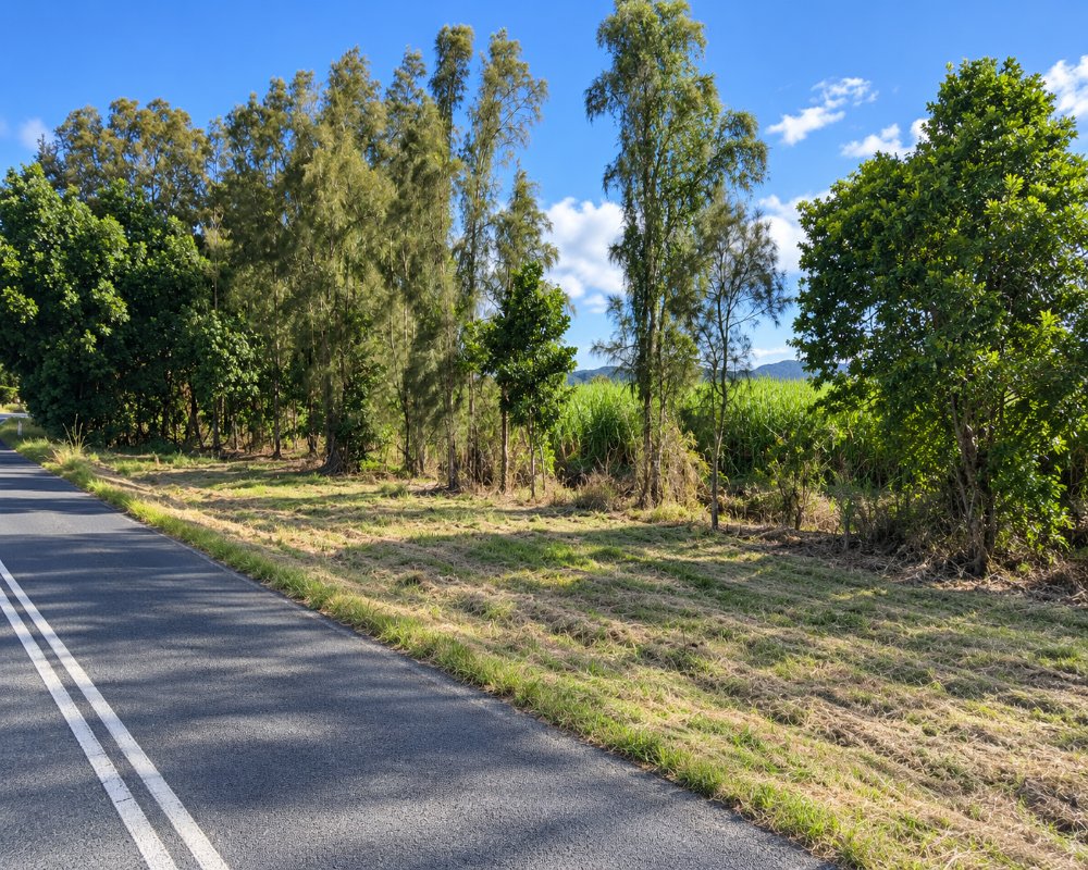
Stotts Creek is a farming locality on the Tweed Valley Way, north-east of Murwillumbah. Cane fields run down to the Tweed River.
Known For
- Sugar cane on the Tweed River
- Stotts Island Nature Reserve
- The old highway through the valley
Things To Do in Stotts Creek
Stotts Island, in the river opposite, carries one of the last patches of the lowland rainforest that once covered the Tweed floodplain. It has no visitor facilities and landing is not encouraged, but you can see it from the riverbank or paddle around it. The Tweed Valley Way is a relaxed alternative to the motorway.
Paddling round Stotts Island
Bruce Chick Park, on the Tweed Valley Way at Stotts Creek, has a concrete kayak and canoe launch ramp. From here a paddle right round the island takes two to three hours, past tall floodplain rainforest of hoop pine, bangalow palm and red cedar.
The island’s rainforest
The 141-hectare reserve holds about 77 hectares of lowland subtropical floodplain rainforest, the largest remnant of its kind in NSW, and is critical habitat for the endangered Mitchell’s rainforest snail.
Where To Stay
There is no accommodation here. Murwillumbah and Tumbulgum are nearby.
Tumbulgum, 5 km south-west, has a few riverfront holiday houses, and Murwillumbah, about 15 km away, has motels, including the Murwillumbah Motor Inn, and short-stay camping at the showground (bookings essential). The nearest caravan parks are on the coast, where Tweed Holiday Parks runs Kingscliff Beach and Kingscliff North, about 11 km east. Overnight stays are not allowed at Bruce Chick Park, and the Tweed Valley Way floods in big wet seasons.
Eat & Drink
Eat at Tumbulgum, which has a riverside tavern and cafes, or in Murwillumbah.
The Tumbulgum Tavern on Riverside Drive serves pub meals at lunch and dinner every day, Husk Farm Distillery at North Tumbulgum serves lunch and tastings from 11am, and towards the coast the Chinderah Tavern has a riverside deck. Fuel and supermarkets are at Chinderah, Kingscliff and Murwillumbah.
History
The Traditional Owners are the Ngandowal and Minyungbal-speaking people of the Bundjalung Nation. The creek and island take their name from James Stott, an Irish convict sentenced in 1826 who later cut cedar on the Tweed. The river flats were cleared for cane, but the island’s rainforest survived to become a nature reserve, and local man Bruce Chick spent years replanting rainforest on the riverbank opposite.
Getting to Stotts Creek
Stotts Creek is on the Tweed Valley Way about ten minutes from Murwillumbah.
Take the Tweed Valley Way exit from the M1 and follow the Tweed Valley Way south-west; it is flat, sealed and suits caravans. Tweed Heads is about 17 km north.
Experiences
- Nature based
- Rural/Country
- Self-Drive
Popular Activities
- Bird Watching
- Canoeing
- Driving
- Kayaking
- Rainforest
- Sightseeing
- Wildlife
About Stotts Creek
- Locality: Rural locality
- Stotts Creek Postcode: 2487
- State: New South Wales
- Region: North Coast NSW
- Latitude: -28.28179
- Longitude: 153.50321
- Elevation: 2m
- Population: 3
- Area (Sq/km): 6.731
- Timezone: Australia/Sydney
