
Stockyard Creek, NSW
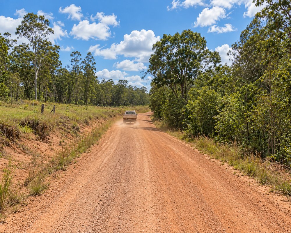
Stockyard Creek is a rural locality in the hills about 25 kilometres north-west of Grafton, not far from Copmanhurst. It is grazing country with a few scattered properties.
Known For
- Cattle country
- Quiet hill roads
- Close to Copmanhurst and the Clarence
Things To Do in Stockyard Creek
There are no attractions here. Copmanhurst, on the Clarence River, has a historic pub and good river access a short drive away.
Copmanhurst and the upper Clarence
Copmanhurst, about 10 km south-west, sits at the old head of navigation on the Clarence, with the Rest Point Hotel and a saddlery museum, and it is the last stop on the Clarence Canoe and Kayak Trail.
The Clarence Gorge
Upstream of Copmanhurst the river runs through the Clarence Gorge, a stretch of rapids and deep pools. Access is through private land off Appletree Flat Road, and floods can cut the road, so ask locally first.
Grafton
Grafton, about 40 minutes away, is the Jacaranda City, with riverside parks, the 1932 Bendy Bridge and heritage streets that turn purple for the Jacaranda Festival in late October and early November.
Where To Stay
There is no accommodation. Copmanhurst has a hotel, and Grafton has the full range.
The Rest Point Hotel has rooms, and Copmanhurst Sport and Recreation Reserve, by the river, is a low-cost camp with toilets and showers that takes caravans and big rigs; dogs must be on a lead. Grafton, about 36 km away, has motels, and the BIG4 Big River Holiday Park at Seelands is on the way back.
Eat & Drink
There are no shops. Copmanhurst has a pub, which also runs the general store and post office.
The Rest Point Hotel is the village’s pub, bistro, store and post office in one. There is no fuel in Copmanhurst, so fill up in Grafton.
History
Stockyard Creek lies north of the Clarence, in Bundjalung Country. It was part of the grazing runs taken up after the Grafton to Tenterfield road was built in 1859, and it is still cattle country.
Getting to Stockyard Creek
From Grafton take the Clarence Way towards Copmanhurst and turn off on Stockyard Creek Road. Allow about 40 minutes.
Check whether Stockyard Creek Road is sealed before taking a big van in.
Experiences
- Rural/Country
- Self-Drive
Popular Activities
- Driving
- Sightseeing
About Stockyard Creek
- Locality: Rural locality
- Stockyard Creek Postcode: 2460
- State: New South Wales
- Region: North Coast NSW
- Latitude: -29.49299
- Longitude: 152.82646
- Elevation: 70m
- Population: 41
- Median Income: $26520
- Area (Sq/km): 47.36
- Timezone: Australia/Sydney
