
Somerset, TAS
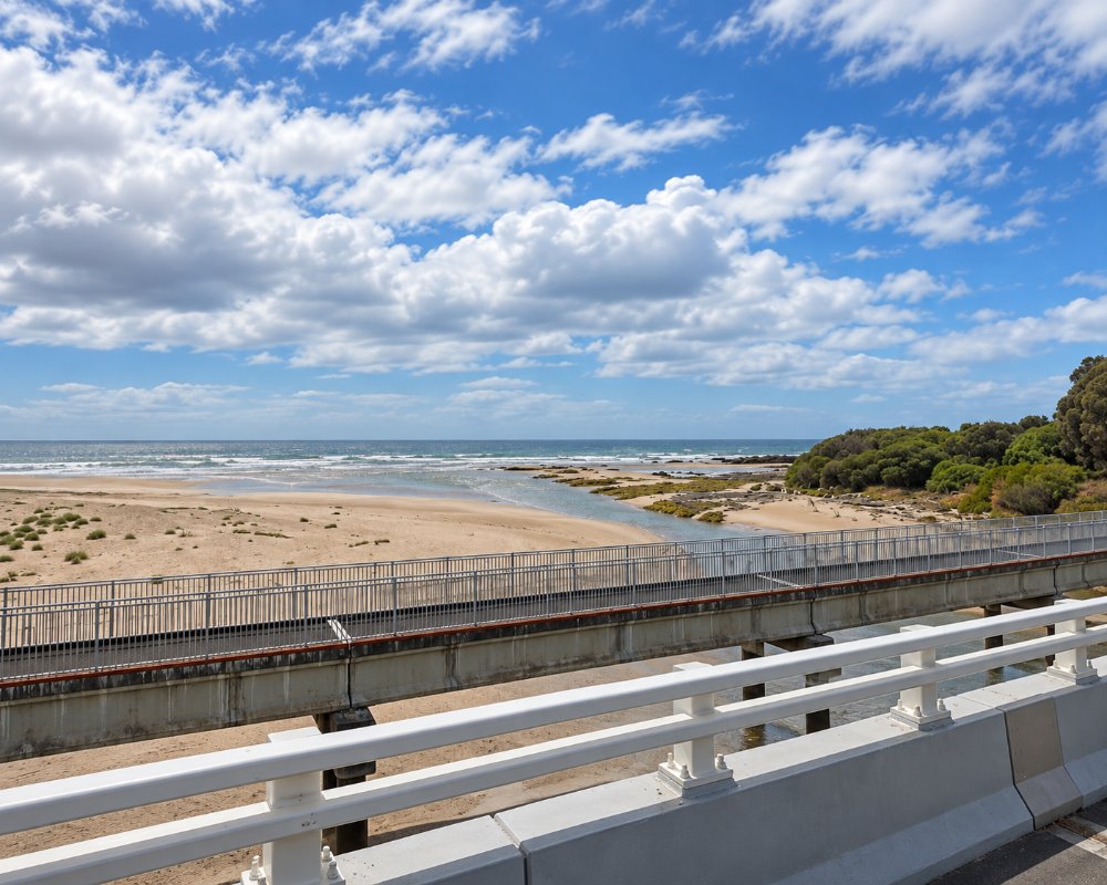
Somerset is a town of about 4,000 people on the western bank of the Cam River, eight kilometres west of Burnie and midway to Wynyard. A long beach runs the length of the town, with the Bass Highway just behind it.
It is also a crossroads: the Murchison Highway begins here and runs south to Waratah, Cradle Mountain and the west coast, which makes Somerset a common last stop for fuel and supplies. Tullah is the first west coast town on that road, about an hour and a quarter to the south.
Known For
- A long town beach
- The Cam River reserve
- Start of the road to the west coast
Things To Do in Somerset
The Beach and Foreshore
The beach stretches along the whole front of the town, with a surf life saving club, parking and easy access.
Cam River Reserve
On the river bank are a boat ramp, walking tracks, a playground, barbecues and toilets. The river is used for fishing and kayaking.
Parks
ANZAC Park and Plover Park both have playgrounds and picnic spots.
The Murchison Highway
The highway climbs south from the river through farmland and forest to Hellyer Gorge, a shady rest area with short rainforest walks, before reaching the turn-offs to Waratah and Cradle Mountain. Guide Falls at Ridgley, about 20 minutes away on the far side of Burnie, is another easy outing.
Where To Stay
Somerset has a caravan park and two hotels.
The Somerset Beachside Cabin and Caravan Park, on the highway west of the river, has powered sites, cabins and a large unpowered camping area, and takes pets. The Somerset Hotel in the main street has budget rooms. The town has a supermarket and several fuel outlets, and it is the best place to fill up before heading down the Murchison Highway.
Eat & Drink
The Somerset Hotel has a bistro, and there are cafes and takeaway shops in the main street. Burnie, ten minutes east, has a much wider choice.
History
Surveyors for the Van Diemen’s Land Company explored the Cam River in the 1820s. A post office opened in 1864 as Somerset River Cam, and the town carried the name Somerset Cam for a time before it was shortened in 1963. Timber and a veneer mill were long the main employers.
Getting to Somerset
Somerset is on the Bass Highway between Burnie and Wynyard, and buses on that route stop in the town. Burnie airport, at Wynyard, is about 15 minutes away. All roads are sealed and suit caravans.
Experiences
- Historic/Heritage
- Rural/Country
Popular Activities
- Shopping
- Sightseeing
About Somerset
- Locality: Urban locality
- Somerset Postcode: 7322
- State: Tasmania
- Region: North West Coast
- Latitude: -41.0424
- Longitude: 145.8333
- Elevation: 18m
- Timezone: Australia/Hobart
