
Tullah, TAS
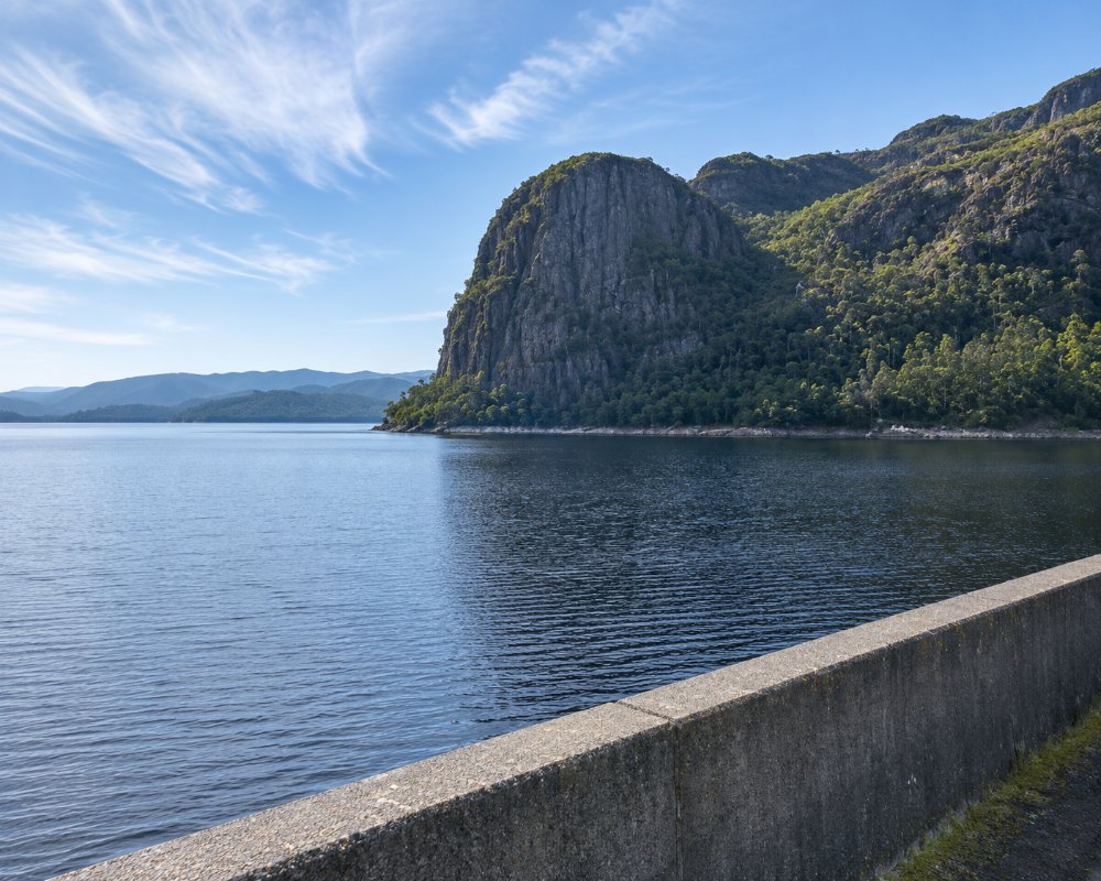
Tullah is a small town on the shore of Lake Rosebery, on the Murchison Highway between Waratah and Rosebery. About 200 people live here, ringed by mountains and dark forest.
For most of its life it could be reached only by a narrow tramway through the bush. It later boomed as a hydro construction town, and is now a peaceful stop on the road to the west coast, with fishing, kayaking and a fine short mountain walk.
Known For
- A lakeside town among the mountains
- Wee Georgie Wood, a tiny steam railway
- The walk up Mount Farrell
Things To Do in Tullah
Wee Georgie Wood Railway
A two-foot-gauge railway runs for about two kilometres beside the highway, the last piece of the tramway that was once the town’s only link with the outside world. Volunteers run trains on selected weekends in spring and summer; check the dates before you come. The site can be looked over at other times.
Mount Farrell
A track starting across the highway from the railway climbs to the 712-metre summit, with views over the lakes and the ranges of the west coast. It is seven to nine kilometres return and takes three to four hours.
Lake Rosebery
The lake at the edge of town is used for trout fishing and kayaking, and there is a ramp for small boats.
Lake Mackintosh
A larger hydro lake a few kilometres away, reached by the Mackintosh Dam road, with boat ramps.
Where To Stay
The lodge is the main place to stay.
The Tullah Lakeside Lodge, in the former hydro workers’ quarters, has rooms and a bar and grill, and has offered powered sites. Free bush camping with no facilities is found beside Lake Rosebery and on the Mackintosh Dam road, where the ground is flat enough for caravans. There is no supermarket in Tullah, and fuel should not be counted on, so fill up at Rosebery, Zeehan or Waratah.
Eat & Drink
The bar and grill at the lodge serves meals, and the town has had a small cafe. Check locally what is open.
History
Silver-lead ore was found near Mount Farrell in the 1890s, and a post office opened in 1900. A wooden tramway, later relaid with steel rails for a small steam locomotive, linked the town with the Emu Bay Railway from 1909. The Murchison Highway arrived only in 1962, and the little engine was retired two years later. From the 1970s Tullah housed up to 2,500 people building the dams of the Pieman River scheme. The tourist railway opened in 1987.
Getting to Tullah
Tullah is on the Murchison Highway (A10), about 100 km south of Burnie and 13 km north of Rosebery. The road is sealed but winding and often wet, and can be icy in winter. The link road to Cradle Mountain turns off north of the town.
Experiences
- Nature based
- Relaxation
Popular Activities
- Fishing
- Kayaking
- Swimming
About Tullah
- Locality: Urban locality
- Tullah Postcode: 7321
- State: Tasmania
- Region: North West Coast
- Latitude: -41.7377
- Longitude: 145.6188
- Elevation: 170m
- Timezone: Australia/Hobart
