
Neilrex, NSW
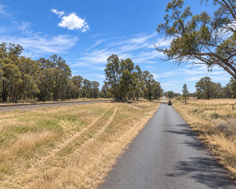
Neilrex is a farming locality about 25 km south of Binnaway, on the railway towards Merrygoen. Fewer than 100 people live in the district.
Known For
- Wheat silos beside the railway
- Farming country
- Quiet back roads
Things To Do in Neilrex
The wheat silos are the only landmark. The grave of King Togee, an Aboriginal leader of the 1800s, is beside Neilrex Road, about 29 km west of Coolah. There are no services.
King Togee’s Grave
The grave is on the left of Neilrex Road heading west, just past the Langdon homestead. A weathered sandstone headstone stands inside four white posts, under a sign reading “Togee King of the Butheroe Tribe”. Togee was a Gamilaraay leader in the mid-1800s who was friendly with the early settlers. There are no facilities, and the site does not suit people with limited mobility.
Silos and the railway
Neilrex had a station on the Gwabegar line from 1917 to 1974. The station has gone, but the wheat silos and their siding still take grain at harvest.
Where To Stay
There is nowhere to stay. Binnaway has a free camping ground by the river.
The Pumphouse Camping Ground at Binnaway, 25 km north, has free unpowered sites on the Castlereagh River, eight powered sites for a small fee, coin-operated hot showers and a dump point. Mendooran, 27 km south-west, has a free riverside rest area with toilets, cold showers and a dump point. Coolah, 52 km east, has pub rooms, a motel and a caravan park, and is the base for the campgrounds in Coolah Tops National Park. The back roads mix sealed and gravel, so drive slowly with a van after rain.
Eat & Drink
There are no shops. Binnaway and Mendooran have pubs.
The Exchange Hotel in Binnaway serves lunch from Wednesday to Sunday and dinner from Wednesday to Saturday. For fuel, a supermarket and a bakery, go to Coolah, Dunedoo or Coonabarabran, and carry water and food, as there is nothing between the villages.
History
Neilrex lies where Gamilaraay and Wiradjuri country meet, and the grave of the Gamilaraay leader Togee is on Neilrex Road. Squatting runs covered the district from the 1830s and 1840s, and closer settlement came after the land acts. The Gwabegar railway reached Binnaway in 1917, and Neilrex station opened that year. It closed in 1974, but the silos and siding stayed in use.
Getting to Neilrex
Roads in the district are a mix of sealed and gravel.
Neilrex is on local roads between Binnaway (25 km north), Mendooran (27 km south-west) and Coolah (52 km east by Neilrex Road). Some gravel sections can be slippery after rain, and there is no public transport.
Experiences
- Cultural
- Historic/Heritage
- Rural/Country
- Self-Drive
Popular Activities
- Driving
- Sightseeing
About Neilrex
- Locality: Rural locality
- Neilrex Postcode: 2831
- State: New South Wales
- Region: Country NSW
- Latitude: -31.72063
- Longitude: 149.30706
- Elevation: 384m
- Population: 72
- Median Income: $24648
- Area (Sq/km): 164.894
- Timezone: Australia/Sydney
