
Limpinwood, NSW
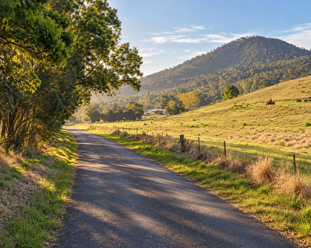
Limpinwood is a farming valley west of Chillingham and north of Tyalgum, about half an hour from Murwillumbah. Its head is closed in by the cliffs of the McPherson Range.
Known For
- A valley under the caldera rim
- Limpinwood Nature Reserve
- Quiet country roads
Things To Do in Limpinwood
Limpinwood Nature Reserve, part of the Gondwana Rainforests World Heritage Area, covers the ranges above the valley. It has no tracks or facilities and is left for conservation, so visitors see it from the road. The loop from Chillingham through Limpinwood to Tyalgum is a beautiful short drive.
Hopping Dick’s Hideaway
The valley’s old name lives on in a single-site bush camp on 50 acres of old forest, with a creek and waterhole on the boundary. It is booked through Hipcamp, takes one group at a time for two nights at most, and suits tents and small campers, not big vans.
The Chillingham, Limpinwood and Tyalgum loop
Zara Road from Chillingham and Limpinwood Road down to Tyalgum make a quiet loop of about 25 km, with the caldera cliffs on one side. Start or finish with coffee at the Chillingham General Store or Flutterbies in Tyalgum.
Where To Stay
The one confirmed place to stay is a single-site bush camp. Tyalgum and Murwillumbah have more.
Tyalgum, about 8 km south, has rooms upstairs at the 1926 Tyalgum Hotel, and Murwillumbah, about 21 km east, has motels and pub rooms. Murwillumbah Showground runs a 25-site campground for self-contained caravans and motorhomes, with a dump point for guests; bookings are essential and stays are limited to seven nights. The valley roads are sealed but narrow, with one-lane bridges and tight bends, so leave a big caravan in town.
Eat & Drink
There are no shops. Tyalgum and Chillingham have cafes and stores.
In Tyalgum, Flutterbies Cottage Cafe serves high tea and garden lunches, and the Tyalgum Hotel’s bistro serves lunch. Chillingham General Store, about 10 km north-east, has coffee, lunch and a beer garden. Fill the tank in Murwillumbah before heading into the hills.
History
The Ngandowal and Minyungbal-speaking people of the Bundjalung Nation are the Traditional Owners. The name comes from Hopping Jack, or Dick, Wood, a timber worker with a heavy limp who camped here; the place was first called Hopping Wood. The school opened as Hopping Dick Provisional School in 1910, was renamed Limpinwood in 1913 and closed in 1974. The 2,646-hectare nature reserve began as a flora reserve in 1963.
Getting to Limpinwood
From Chillingham follow Zara Road and Limpinwood Road, or come up from Tyalgum.
Both routes are sealed but narrow, and the only public access to the nature reserve is from Lamington National Park in Queensland.
Experiences
- Nature based
- Remote
- Rural/Country
Popular Activities
- Bush Walking
- Caravan and Camping
- Driving
- Sightseeing
- Wilderness
About Limpinwood
- Locality: Rural locality
- Limpinwood Postcode: 2484
- State: New South Wales
- Region: North Coast NSW
- Latitude: -28.31162
- Longitude: 153.22271
- Elevation: 84m
- Population: 215
- Median Income: $24908
- Area (Sq/km): 54.313
- Timezone: Australia/Sydney
