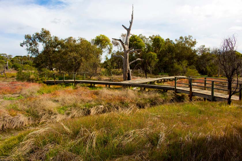
Katanning, WA
The agricultural town of Katanning is located three hours’ drive southeast of Perth and is a service centre to 20,000 people.
The establishment of a brick works for the foundation of the town leaves a rich heritage of federation buildings. As a growing community, Katanning services the needs of an agricultural and professional population.
Hotel, motel and caravan park facilities are available.
Nearest Airport: Daping Street
Where to stay?
Experiences
- Caravan and Camping
- Farm/Station
- Rural/Country
- Historic/Heritage
Popular Activities
- Sightseeing
About Katanning
- Locality: Urban locality
- Katanning Postcode: 6317
- State: Western Australia
- Region: Margaret River & the South West
- Latitude: -33.69004
- Longitude: 117.55622
- Elevation: 317m
- Population: 3687
- Median Income: $34476
- Area (Sq/km): 135.942
- Timezone: Australia/Perth


