Innisfail, QLD
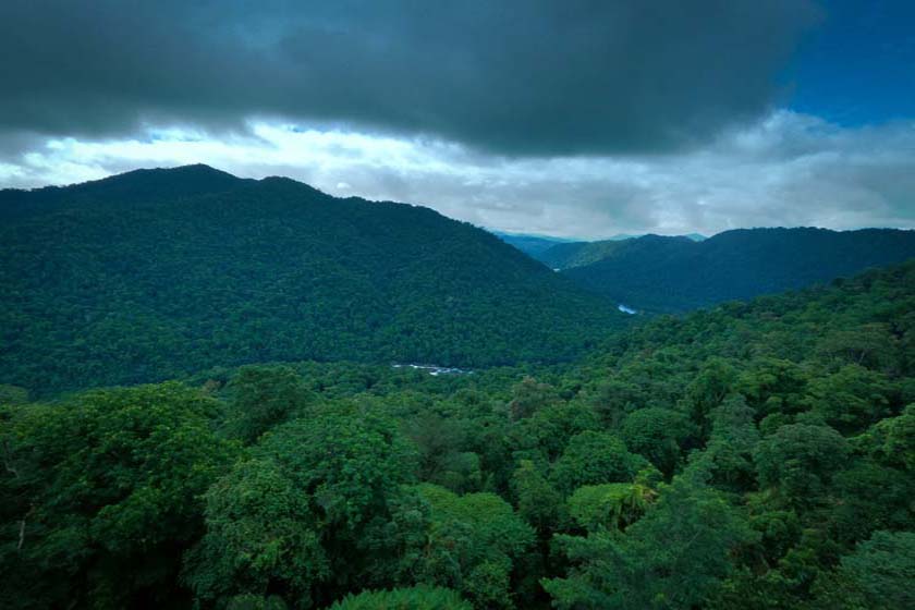
Innisfail is a prosperous, colourful town, situated on the North and South Johnstone Rivers, and is surrounded by rich green landscape. Lush sugar plantations flow from the dense rainforest coastline to the thick jungles of the Palmerston National Park to the west. Sugar has been grown here since the early 1880’s. Tea, bananas, pawpaws and other exotic tropical fruits are also grown within the area. Aquaculture also plays an important part in the area’s economy ranging from prawn, barramundi and fresh crayfish to crocodile farming.
Distance from Brisbane (State Capital): 1,719 kilometres.
Nearest Airport: Mundoo
Where to stay?
Experiences
- Caravan and Camping
- Cultural
- Historic/Heritage
- Indulgence/Luxury
- Mountain
- Relaxation
Popular Activities
- Mountain Biking
- Bird Watching
- Bush Walking
- Canoeing
- City Sightseeing
- Cruising
- Driving
- Golfing
- Horse Riding
- Kayaking
- Sailing
- Shopping
- Skating
- Swimming
- Wine Tasting
- National Park
- Fishing
- Nightlife
- Rainforest
- Science and Technology
- Wildlife
- Fishing - Game
- Fishing - Beach
- Beach
- Fruit Picking
- Fishing - Deep Sea
- Fishing - Trout/Fly
- Fishing - Estuary
- World Heritage
About Innisfail
- Locality: Urban locality
- Innisfail Postcode: 4860
- State: Queensland
- Region: Cairns & Great Barrier Reef
- Latitude: -17.52402
- Longitude: 146.03108
- Elevation: 13m
- Population: 1145
- Median Income: $25324
- Area (Sq/km): 1.637
- Timezone: Australia/Brisbane