
Greenough, WA
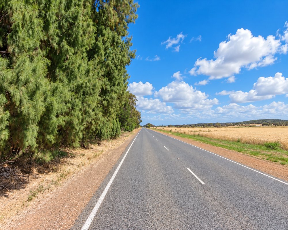
Greenough is a farming district on the Greenough Flats, about 25 km south of Geraldton on the Brand Highway. In the 1860s it was one of the most productive wheat areas in the colony, and the stone churches, police station, gaol and school of Central Greenough survive as one of the best-preserved historic settlements in Western Australia. Along the highway, red gums bent almost flat by the salty winds have become the famous leaning trees.
This is Yamatji country, and the Amangu people are the traditional owners of the area. Today Greenough is a lovely place to step back in time, walk along the river and enjoy a country drive, with a wildlife park and caravan parks nearby.
Known For
- The Central Greenough Historic Settlement
- The leaning trees bent by the wind on the Greenough Flats
- Farming heritage from the 1850s and 1860s
Things To Do in Greenough
Central Greenough Historic Settlement
At the corner of the Brand Highway and McCartney Road, Central Greenough has about a dozen restored stone buildings, including two churches, the police station, gaol and school. It is run by the National Trust and open daily for self-guided visits, with a cafe at the entrance.
The leaning trees
Along the Brand Highway across the flats, gum trees have been bent sideways by the salt-laden winds. Park in the marked bay to take photos, as the trees are on private land.
Greenough Wildlife and Bird Park
On Company Road, the wildlife park has native animals, reptiles, farm animals and crocodiles, and doubles as a wildlife rescue centre. It is closed on Wednesdays unless booked.
Greenough Museum and Gardens
The Greenough Museum on Phillips Road is the restored two-storey home of the miller John Maley.
Greenough River
The Greenough River Nature Walk Trail is a 17 km loop for walking or cycling, crossing at the old ford. The river mouth is good for fishing and crabbing, and ospreys are often seen.
Heritage drive
A heritage drive takes in the 1864 Maley Bridge, built with convict labour, the Wesleyan Chapel, Clinch’s Mill, Gray’s Store and the Pioneer Cemetery.
Where To Stay
S Bend Caravan Park on Company Road in South Greenough has a shop and fuel, and Double Beach Holiday Village at Cape Burney has powered sites and a pool and is pet friendly. Farm stays and cottages are also available. Ellendale Pool, inland on the Greenough River, has a campground with toilets and barbecues. Roads are sealed, and Geraldton, 20 minutes away, has full services.
Eat & Drink
The Central Greenough Cafe, in the 1860 general store at the entrance to the historic settlement, serves Devonshire teas, light meals and homemade cakes until mid-afternoon, and it’s the way into the National Trust village; it’s closed on public holidays. For more choice, Geraldton is a short drive north.
History
Greenough was settled in the 1850s, and in the 1860s it boomed as a wheat-growing district, using ticket-of-leave convict labour to build bridges and stores. Floods and crop disease in the 1870s and 1880s hit the farms hard, and the district declined. The National Trust took over the historic buildings from the 1970s and restored them.
Getting to Greenough
Greenough is about 25 km south of Geraldton on the Brand Highway, around 20 minutes’ drive, and about four hours north of Perth.
The best time to visit is August to October for wildflowers, and the cooler months for heritage walks.
Experiences
- Farm/Station
- Historic/Heritage
- Rural/Country
Popular Activities
- Bird Watching
- Bush Walking
- Driving
- Fishing
- Fishing - Beach
- Fishing - Deep Sea
- Sandboarding
- Sightseeing
- Surfing
- Swimming
- Wildlife
About Greenough
- Locality: Rural locality
- Greenough Postcode: 6532
- State: Western Australia
- Region: Exmouth & the Coral Coast
- Latitude: -28.95439
- Longitude: 114.75655
- Elevation: 25m
- Population: 282
- Median Income: $31044
- Area (Sq/km): 67.516
- Timezone: Australia/Perth
Accommodation In Greenough
Discover some of the accommodation in and around Greenough
