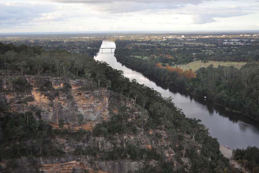
Glenbrook, NSW
Glenbrook was originally known as watertank due to the storage of water in
tanks for the steam trains. In 1874 the name was changed to Wascoe Siding.
In 1877 a passenger platform was erected and in 1878 the name changed to
Brookdale. In 1879, the name changed permanently to Glenbrook. The name Glenbrook is the original name given by Sir John Jamison who, exploring the Nepean, sighted a pretty brook he presumed had its headwaters in the Prince Regents Glen at Wentworth Falls, hence the name Glenbrook. The name was later conferred to the surrounding district.
For more information contact:
Glenbrook Visitor Information Centre
Great Western Highway, GLENBROOK
Ph: 1300 653 408
Open: 9am to 5pm Monday to Friday, 8:30am to 4:30pm Sat/Sun (Closed Christmas Day).
Nearest Airport: Sydney (Mascot)
Where to stay?
About Glenbrook
- Locality: Suburb
- Glenbrook Postcode: 2773
- State: New South Wales
- Region: Blue Mountains
- Latitude: -33.76802
- Longitude: 150.62169
- Elevation: 183m
- Population: 5051
- Median Income: $43992
- Area (Sq/km): 6.995
- Timezone: Australia/Sydney