Dalmorton, NSW
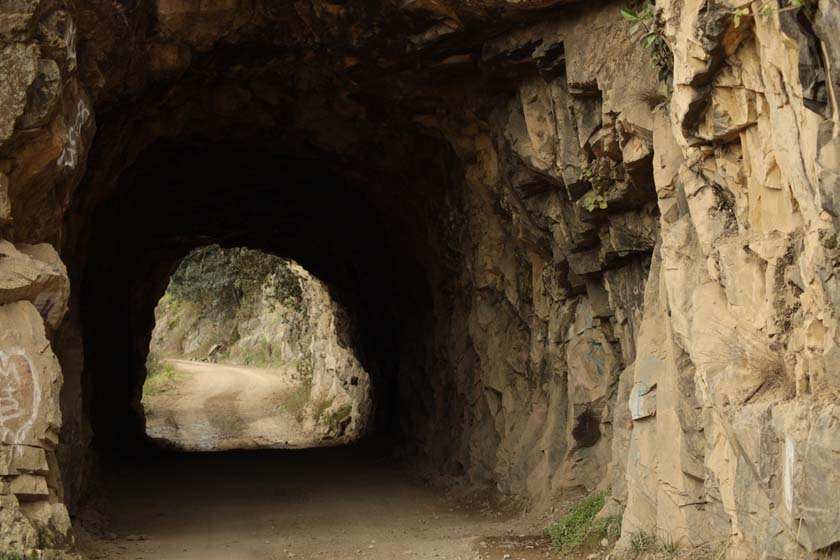
Dalmorton was once a thriving, rowdy community of 5000 people and 13 pubs living off the proceeds of a great but brief gold rush in the 1850s and 60s. Today the war memorial and a road sign are all that remain of the township of Dalmorton. The scenery around Dalmorton is spectacular with the Boyd River nestled amoung high forested slopes. Not far from Dalmorton is the “Convict Tunnel” which is a site to see.
National Parks & Wildlife Service have now opened a new camping and picinic area near the Boyed (Little) River. The campsites are designed for camper trailers, vans and tents. There are also camping areas for larger groups. Facilities include: Picinic tables, toilets, fireplaces and an information shelter.
Nearest Airport: Grafton
Where to stay?
About Dalmorton
- Locality: Rural locality
- Dalmorton Postcode: 2460
- State: New South Wales
- Region: North Coast NSW
- Latitude: -29.86451
- Longitude: 152.45543
- Elevation: 217m
- Population: 4
- Area (Sq/km): 329.999
- Timezone: Australia/Sydney