
Castlemaine Diggings National Heritage Park, VIC
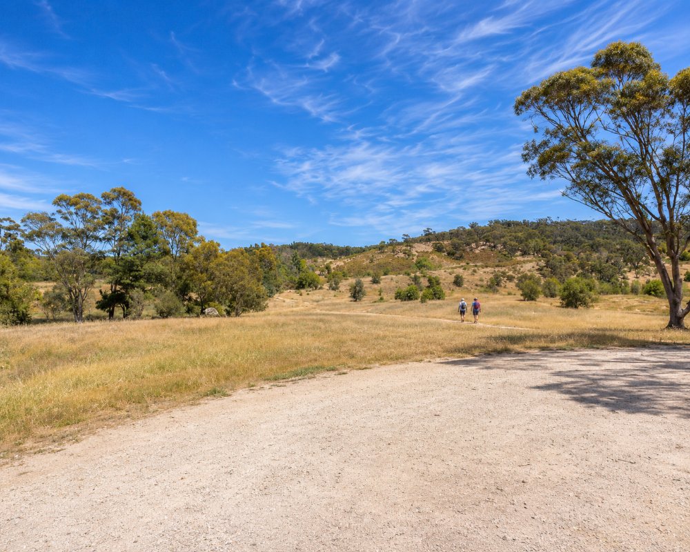
The Castlemaine Diggings National Heritage Park covers about 7,550 hectares of box-ironbark forest and old diggings around Castlemaine, Chewton, Fryerstown and Vaughan, about 120 km north-west of Melbourne. It is often called Australia’s largest historic mining landscape, and it was the first place in the country declared a national heritage park.
Walking through it is like walking through the 1850s: the forest floor is pocked with shafts and mullock heaps, creeks are lined with sluiced banks and stone walls, and the ruins of puddling machines, water wheels, huts and Chinese camps lie among the trees.
Known For
- Australia’s largest gold-rush landscape
- The Garfield Water Wheel and Eureka Reef
- Vaughan Springs and the Goldfields Track
Things To Do in the Park
Garfield Water Wheel
The giant stone foundations of the Garfield Water Wheel, near Chewton, once held a 22-metre wheel built in 1887 to drive a quartz crushing battery.
Eureka Reef and Spring Gully
Walking tracks at Eureka Reef pass deep reef workings, puddling machines and the remains of a Chinese market garden, and Spring Gully has more mining relics among the ironbarks.
Forest Creek and the Monster Meeting Trail
The Forest Creek Gold Diggings show the scale of alluvial mining, and a trail links the site of the 1851 Monster Meeting with the creek.
Pennyweight Flat Cemetery
About 200 people, many of them children, were buried at Pennyweight Flat between 1852 and 1857. It is one of the most moving places in the park.
Specimen Gully and Herons Reef
Specimen Gully, where gold was first found in the district in July 1851, has a reconstructed hut and a memorial. Herons Reef, near Fryerstown, is a well-preserved reef-mining site.
Vaughan Springs and the Goldfields Track
Vaughan Springs has mineral water taps, picnic grounds and a Chinese burial ground. The Goldfields Track, a long-distance walking and mountain bike trail, crosses the park.
Prospecting in the Park
Prospecting and metal detecting are allowed in parts of the park, and Parks Victoria’s Castlemaine Prospecting Map shows the permitted zones. Anyone searching for gold in Victoria needs a Miner’s Right, a ten-year permit issued by the state government, and only hand tools may be used. Prospecting is banned at the campgrounds, at the Vaughan Springs day area and on the historic sites, and the ground is riddled with old shafts and open cuts, so stay on mapped tracks.
Expedition Pass Reservoir
On Golden Point Road north of Chewton, this small reservoir is a summer swimming and paddling spot, with fishing all year for holders of a Victorian fishing licence. The forest around it was almost cleared in the gold rush and has grown back well, making it good for birdwatching. The small car park fills quickly on hot weekends, so walk or cycle in from the Monster Meeting site or the Welsh Street car park. Dogs are not allowed at the reservoir.
Where To Stay
Free camping areas at Chokem Flat, Warburtons Bridge and the Vaughan Springs Upper Terrace need no booking; Vaughan Springs suits caravans. Castlemaine has the nearest caravan parks, motels and B&Bs.
The park’s three campgrounds are all free, unpowered and need no booking, and the maximum stay is 42 days. Chokem Flat, on Fryers Creek just off Campbells Creek–Fryers Road, is big enough for groups and suits caravans and campervans, with picnic tables and a central fireplace but no toilets, so bring a portable one. Warburtons Bridge, on a bend of the Loddon River off Vaughan–Drummond Road, has a toilet, picnic tables and fireplaces. The Upper Terrace campground sits on the hill above the Vaughan Springs day area, where there are toilets; camping is not allowed in the day area itself. Dogs are allowed on a lead at Chokem Flat and Warburtons Bridge but not at Vaughan Springs.
None of the sites have bins. Firewood collection is banned in the park, so bring your own or use a gas stove, light fires only in the fireplaces provided, and never on a day of Total Fire Ban. The whole park closes on Catastrophic Fire Danger days. The nearest dump point is on Bridge Street in Harcourt, beside the swimming pool. For powered sites and cabins, use the two caravan parks in Castlemaine.
Eat & Drink
There are no cafes in the park. Castlemaine has some of the best food in the Goldfields, and the Red Hill Hotel at Chewton and the Five Flags at Campbells Creek are good country pubs.
There is no food for sale in the park, but Vaughan Springs has a free electric barbecue, a shelter and picnic tables. The Red Hill Hotel in Chewton serves pub meals from Thursday to Sunday, and at Campbells Creek the Five Flags Hotel cooks every day, with the Five Flags Merchants Cafe next door for coffee and breakfast. Near the southern end of the park, the Stables at Guildford serves wood-fired pizza. Castlemaine, in the middle of the park, has the widest choice, from Johnny Baker’s pastries to the brewery and winery at The Mill.
History
This is Dja Dja Wurrung Country, and the park is managed by Parks Victoria under the Dja Dja Wurrung Recognition and Settlement Agreement. The Mount Alexander diggings were among the richest shallow goldfields in the world. The park was declared in 2002 and added to the National Heritage List in 2005, and in 2025 the Victorian Goldfields were placed on Australia’s tentative list for World Heritage, with a nomination possible later this decade.
Getting to the Park
The park surrounds Castlemaine, about 120 km north-west of Melbourne via the Calder Freeway. Main entry points are the Pyrenees Highway at Chewton, Vaughan Springs Road and the roads to Fryerstown. Castlemaine has the nearest train station. A plant disease outbreak has closed some vehicle tracks, so check Parks Victoria.
Experiences
- Eco Tourism
- Nature based
- Remote
- Self-Drive
Popular Activities
- Bush Walking
- Caravan and Camping
- Gold prospecting
- National Park
- Swimming
- Wildlife
About Castlemaine Diggings National Heritage Park
- Locality: National park
- Castlemaine Diggings National Heritage Park Postcode: 3450
- State: Victoria
- Region: Goldfields
- Latitude: -37.0950
- Longitude: 144.2450
- Timezone: Australia/Melbourne
