
Carrs Island, NSW
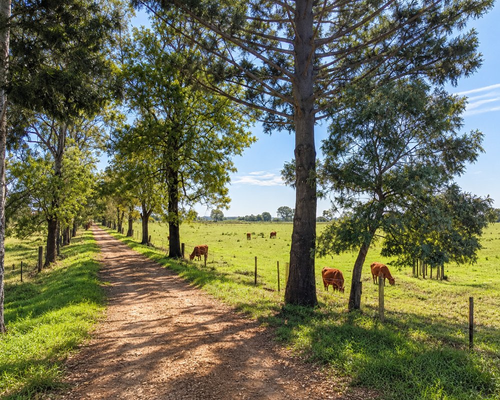
Carrs Island is a low, fertile island in the Clarence River on the northern edge of Grafton. A short bridge joins it to the city, and its few farms and houses look back across the water to the town.
Known For
- River flats within sight of Grafton
- Farms on rich alluvial soil
- Quiet riverbank roads
Things To Do in Carrs Island
There is nothing set up for visitors, but the short loop on to the island gives a feel for the river farms that surround Grafton. The city’s riverside parks, rowing course and heritage streets are a few minutes away.
Grafton’s river islands
Carrs Island is one of several islands in the Clarence around Grafton; the best known is Susan Island, a rainforest reserve off the city’s riverfront, where thousands of flying foxes leave at dusk in summer. Paddlers can launch at Memorial Park and circle it.
The Clarence Way
A few minutes north, at Koolkhan, the Clarence Way leaves the Summerland Way and follows the river about 21 km up to Copmanhurst, where the Clarence Canoe and Kayak Trail ends.
Where To Stay
Stay in Grafton, which has motels, hotels and caravan parks.
Grafton has motels along Fitzroy Street and in South Grafton, the Crown Hotel Motel on the river, and overnight camping at the Grafton Showground, which has a dump point; it is busy during shows and race meetings. The BIG4 Big River Holiday Park & Ski Lodge at Seelands, about 20 km by road, has grass and slab powered sites, riverfront cabins, a pool, a boat ramp and a dump point, and takes dogs on a lead. Book Grafton rooms well ahead for the Jacaranda Festival.
Eat & Drink
Grafton has cafes, pubs and restaurants around Prince Street.
In Grafton, the Crown Hotel’s bistro and terrace face Susan Island, Roches Family Hotel on Victoria Street serves good-value meals, and Rubony’s Cafe and the Our Place bakery are good for coffee, and the Clocktower Hotel has a restaurant. South Grafton has Naeco Blue Seafoods for Clarence River prawns in season.
History
Carrs Island lies on the Grafton side of the Clarence, near the traditional boundary between Bundjalung and Gumbaynggirr Country. Its rich alluvial soil was farmed from the early decades of Grafton’s settlement, and because the low flats flood regularly, the island has stayed farmland.
Getting to Carrs Island
Carrs Island is reached from the northern end of Grafton, about five minutes from the city centre.
Take Pound Street and Carrs Island Road; a short sealed bridge carries the road onto the island.
Experiences
- Nature based
- Relaxation
- Rural/Country
Popular Activities
- Driving
- Fishing
- Kayaking
- Swimming
About Carrs Island
- Locality: Rural locality
- Carrs Island Postcode: 2460
- State: New South Wales
- Region: North Coast NSW
- Latitude: -29.6701
- Longitude: 152.91258
- Elevation: 5m
- Population: 14
- Median Income: $35724
- Area (Sq/km): 1.401
- Timezone: Australia/Sydney
