
Whiteman Creek, NSW
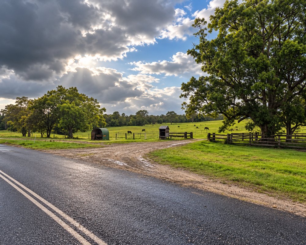
Whiteman Creek is a small rural locality about 20 kilometres north-west of Grafton by road, on the Clarence Way. The creek runs through cattle paddocks to the Clarence River.
Known For
- Cattle properties
- The Clarence Way
- Close to the river
Things To Do in Whiteman Creek
There is nothing here for visitors beyond the scenery from the road. Most people are on their way to Copmanhurst and the upper Clarence.
Copmanhurst
Copmanhurst, 10 km further up the Clarence Way, is a historic river village with a saddlery museum, a war memorial hall and the Rest Point Hotel, and it is the finishing point of the Clarence Canoe and Kayak Trail.
Grafton’s jacaranda season
From late October to early November, Grafton‘s streets turn purple and the Jacaranda Festival fills the city, so book accommodation early.
Seelands and the river
Back towards Grafton, Seelands sits on a broad, deep reach of the Clarence that is popular for water-skiing and fishing, and the holiday park there has river frontage and a boat ramp.
Where To Stay
There is no accommodation. Grafton is about 20 minutes away.
At Copmanhurst, 10 km north-west, Copmanhurst Sport and Recreation Reserve is a low-cost campground with room for caravans and big rigs, toilets and showers, paid by phone with no bookings; dogs must be on a lead, and the Rest Point Hotel has rooms. The BIG4 Big River Holiday Park & Ski Lodge at Seelands has powered sites, cabins and riverfront villas, and Grafton has the widest choice of motels.
Eat & Drink
There are no shops. Eat in Grafton or at the pub in Copmanhurst.
The Rest Point Hotel serves lunch daily and dinner Thursday to Sunday and runs the village store. In Grafton, the Crown Hotel and the Clocktower Hotel serve pub meals, and Rubony’s Cafe is good for coffee. Fill up in Grafton, as there is no fuel at Copmanhurst.
History
Whiteman Creek is in Bundjalung Country, north of the Clarence. The creek runs south through cattle country to the river, and The Whiteman was one of the old crossing places listed in the shire’s history.
Getting to Whiteman Creek
From Grafton take the Summerland Way north, then the Clarence Way north-west, about 20 minutes.
The roads are sealed and suit caravans.
Experiences
- Rural/Country
- Self-Drive
Popular Activities
- Driving
- Sightseeing
About Whiteman Creek
- Locality: Rural locality
- Whiteman Creek Postcode: 2460
- State: New South Wales
- Region: North Coast NSW
- Latitude: -29.58455
- Longitude: 152.86387
- Elevation: 18m
- Population: 166
- Median Income: $23868
- Area (Sq/km): 30.613
- Timezone: Australia/Sydney
