
Palmers Channel, NSW
Palmers Channel is a farming district between Maclean and Yamba, about 15 minutes east of Maclean, touching Yamba Road at its northern edge. It takes its name from the arm of the Clarence River that separates Palmers Island from the mainland.
Known For
- Sugar cane fields
- Quiet river channels
- The road to Yamba
Things To Do in Palmers Channel
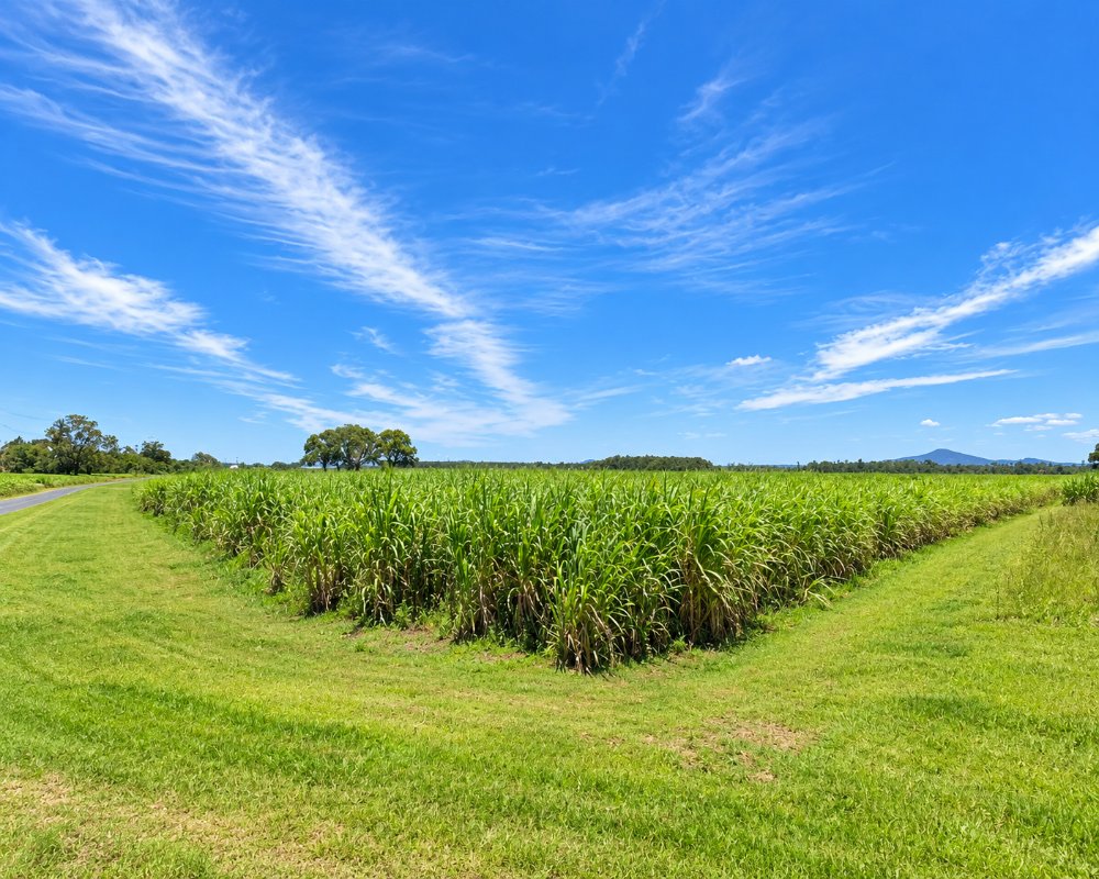
This is working cane country, at its most interesting in the harvest season from about June to November, when cane fires sometimes light the evening sky. The channel itself is fished for bream and flathead.
Cane country drive
Palmers Channel South Bank Road follows the channel through cane fields towards Lake Wooloweyah. In the crushing season cane trucks run to the Harwood mill, the oldest working sugar mill in Australia, so drive slowly and watch for haul trucks and tractors.
Fishing and paddling
The channel is tidal and sheltered, suiting small boats and kayaks, and bream, flathead and whiting are the usual catch. The nearest boat ramps are at Wooloweyah, Yamba and Maclean.
Where To Stay
There is no accommodation in the district. Maclean and Yamba are both close.
Maclean Riverside Caravan Park, 109 River Street, has drive-through powered sites, ensuite cabins and a dump point, and Maclean Showground takes up to 10 self-contained vans for three nights, with a dump point but no tents or showers. BIG4 Saltwater @ Yamba Holiday Park on Palmers Island has big sites, cabins, glamping, a waterpark and campfires on some sites, and Fishing Haven Holiday Park on Palmers Island has shady riverfront sites, cabins, three jetties and pet-friendly options.
Eat & Drink
Eat in Maclean or Yamba.
In Yamba, the Pacific Hotel has its clifftop bistro, Wobbly Chook Brewing Co brews its own beer, and the fishermen’s co-op shop at 15 Yamba Road sells prawns and fish. In Maclean, the Maclean Hotel is the riverside pub and the restored Argyle Hotel has Restaurant 1894. SPAR Maclean is the supermarket, and fuel is in Maclean, Townsend and Yamba.
History
The Yaegl people are the Traditional Owners of the lower Clarence. The district takes its name from the channel south of Palmers Island, and like the island it is farmland, with sugar cane the main crop since the 1860s.
Getting to Palmers Channel
From Maclean, take Jubilee Street and Gardiners Road through Gulmarrad, then Amos Road onto Palmers Channel South Bank Road, about 11 km.
The farm roads are narrow but sealed or good gravel.
Experiences
- Rural/Country
- Self-Drive
Popular Activities
- Driving
- Fishing
- Kayaking
- Sightseeing
About Palmers Channel
- Locality: Rural locality
- Palmers Channel Postcode: 2463
- State: New South Wales
- Region: North Coast NSW
- Latitude: -29.45951
- Longitude: 153.27926
- Elevation: 2m
- Population: 119
- Median Income: $30420
- Area (Sq/km): 19.443
- Timezone: Australia/Sydney
