
Great Marlow, NSW
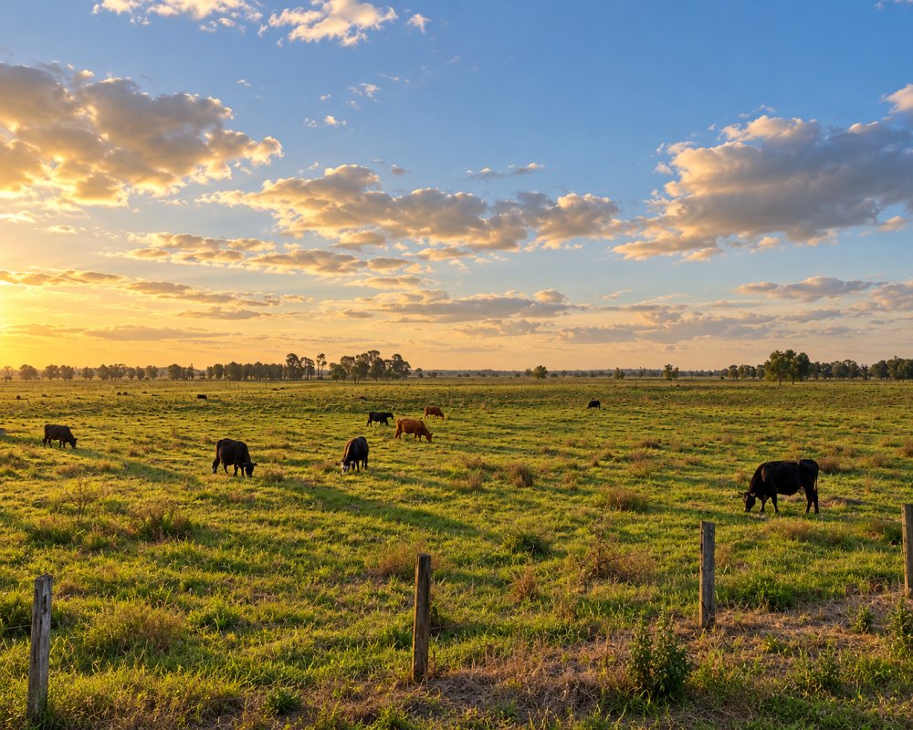
Great Marlow lies on the flat land just north-east of Grafton, between the city and the Clarence River. It is farmland, with paddocks, a few houses and the levee banks that protect them.
Known For
- Clarence floodplain farms
- Flat roads for a short cycle from Grafton
- River views near the city
Things To Do in Great Marlow
There are no attractions as such. The quiet, level roads make an easy bike ride from Grafton, and the views across the floodplain to the ranges are good in the late afternoon.
The Lawrence Road drive
Great Marlow Road joins Lawrence Road, which runs downstream along the north bank past Southgate and Tyndale to Lawrence, where the free 24-hour ferry crosses to Woodford Island. The old Ulmarra to Southgate ferry has been closed since June 2024.
Grafton’s riverside
Back in town, Memorial Park and the Prince Street riverbank look over Susan Island, the 1932 Bendy Bridge carries road and rail, and the jacarandas flower for the Jacaranda Festival in late October and early November.
Where To Stay
Stay in Grafton, five minutes away.
Grafton has motels along Fitzroy Street and in South Grafton, the Crown Hotel Motel on the river, and overnight camping at the Grafton Showground, which has a dump point; it closes to campers on some event weekends. The BIG4 Big River Holiday Park & Ski Lodge at Seelands has grass and slab powered sites, riverfront cabins, a pool, a boat ramp and a dump point, and takes dogs on a lead. Low-cost riverside camping is at Ulmarra’s Small Park, about 15 km away.
Eat & Drink
Eat in Grafton.
In Grafton, the Crown Hotel’s bistro and terrace face Susan Island, Roches Family Hotel on Victoria Street serves good-value meals, and Rubony’s Cafe and the Our Place bakery are good for coffee, and the Clocktower Hotel and Grafton District Services Club have bistros. South Grafton has the Clarence Kitchen Collective wholefoods cafe and Naeco Blue Seafoods.
History
Great Marlow is north of the Clarence, the traditional boundary between Bundjalung and Gumbaynggirr Country. It was first a land parish that included Grafton until the city was separated in 1885, and landholders formed a drainage union to work the low river flats. A match factory was built here in the 1950s and later closed.
Getting to Great Marlow
Great Marlow is reached by local roads from the northern side of Grafton.
Queen Street and Great Marlow Road lead out from the eastern side of the city. All roads are sealed.
Experiences
- Rural/Country
- Self-Drive
Popular Activities
- Cycling
- Driving
- Sightseeing
About Great Marlow
- Locality: Rural locality
- Great Marlow Postcode: 2460
- State: New South Wales
- Region: North Coast NSW
- Latitude: -29.65623
- Longitude: 152.9732
- Elevation: 5m
- Population: 184
- Median Income: $32344
- Area (Sq/km): 10.15
- Timezone: Australia/Sydney
