
Augathella, QLD
Augathella is a town of about 330 people on the Warrego River, 84 kilometres north of Charleville, where the Landsborough Highway heads north-west to Tambo. It is cattle country, and it calls itself Meat Ant Country after its football team.
Known For
- The giant meat ant
- Smiley, the boy from the film
- Bushrangers and bullock teams
Things To Do in Augathella
The meat ant
A sculpture of a meat ant many thousands of times life size stands in the park by the highway. The local football team, the Mighty Meat Ants, was named for the insect’s refusal to give up.
Smiley
The 1956 film Smiley, about a barefoot country boy, was based on a novel by Moore Raymond, who grew up here and modelled the character on a childhood friend. A mural in the main street remembers him, and the town’s gallery and cinema screen the film.
Heritage and river walk
A walk along the Warrego passes murals of bullock teams and the town’s early days. The Ellangowan Hotel is the surviving pub.
The Kenniff brothers
In 1902 the cattle thieves Patrick and James Kenniff killed a policeman and a station manager in the ranges north of here, and were hunted down in one of the last bushranger pursuits in Australia. The story is told on signs in town.
Augathella Experience
The newest stop in town is the Augathella Experience in the main street, where touch screens and stories on the walls cover the bullock teams, the bushrangers and the families of the district. A small cinema screen shows behind-the-scenes footage of the Smiley films, made from Moore Raymond’s 1945 book about his childhood here.
Boadicea Gallery & Cinema
This community arts centre holds changing exhibitions and a permanent display of more than 150 heritage photographs of the town and district. It also screens the 1956 film Smiley, so you can see the story the town is known for before you go looking for the mural.
Kenniff Tree and the heritage trail
On the corner of Jane and Cavanagh streets stands the tree where the Kenniff brothers are said to have tied their horses while planning their raids. A heritage trail links it with wrought-iron sculptures, street murals, the painted water tower in Forest Street and flood markers recording the April 1990 flood, when the Warrego broke its banks and more than 50 houses went under.
Where To Stay
There is a motel, a hotel and a small caravan park, and travellers camp by the river.
The Ellangowan Hotel at 84 Main Street has rooms and is the main place to stay in town. Travellers who camp beside the Warrego should choose a spot well above the water, as the river rises quickly after storms upstream. Charleville, about 84 km south on the Mitchell Highway, has the widest choice in the district: the Cobb and Co Caravan Park in the centre of town, the Bailey Bar Caravan Park, Evening Star Tourist Park, Charleville Bush Caravan Park and Cottage, a CMCA RV park for fully self-contained rigs, and motels including the Warrego Motel and the Mulga Country Motor Inn.
Gidgee Bush Camp & Farm Stay near Charleville, about 87 km from Augathella, has powered sites, a camp kitchen and farm animals. Heading north, Tambo, about 117 km away, has a pub with rooms, cabins and the free Stubby Bend camp for self-contained travellers. Augathella sits where the Landsborough Highway from Morven meets the Mitchell Highway from Charleville, so it is a natural fuel stop: the BP on the highway sells petrol and diesel, and a separate 24-hour BP card bowser takes trucks and road trains.
Eat & Drink
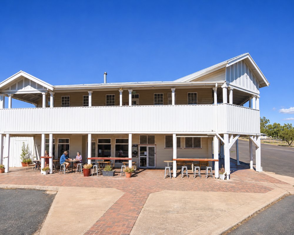
The Ellangowan Hotel serves meals, and there is a roadhouse and cafe.
The Ellangowan Hotel at 84 Main Street is the town’s pub and its main place for a meal, with a public bar where locals and travellers mix and a beer garden out the back. It is a short walk from Meat Ant Park and the street murals, so it suits a lunch stop on the drive between Charleville and Tambo; check opening hours before you go, especially on Sundays. The BP service station on the highway sells fuel and road snacks, and its 24-hour card bowser means you can fill up after the town has closed for the night.
Augathella’s shops are small, so do the main grocery shop in Charleville, about 84 km south, or Tambo, about 117 km north-west, where the Royal Carrangarra Hotel cooks dinner seven nights a week and sells house-made pies from May to October.
History
This is Bidjara country. The town was gazetted in 1883 at a crossing of the Warrego used by bullock teams, and was first called Burenda.
Getting to Augathella
Augathella is on the Matilda Way, an hour north of Charleville and 115 kilometres south of Tambo. Morven is 90 kilometres south-east.
Experiences
- Caravan and Camping
- Historic/Heritage
- Remote
- Rural/Country
- Self-Drive
Popular Activities
- Caravan and Camping
- Driving
- Fishing
- Outback
- Shopping
- Sightseeing
About Augathella
- Locality: Urban locality
- Augathella Postcode: 4477
- State: Queensland
- Region: Outback Queensland
- Latitude: -25.79469
- Longitude: 146.58661
- Elevation: 372m
- Population: 449
- Median Income: $26884
- Area (Sq/km): 1459.05
- Timezone: Australia/Brisbane
