
Parilla, SA
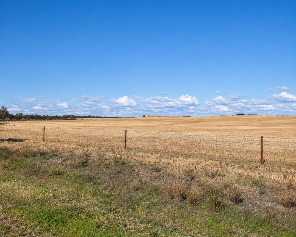
Parilla is a settlement of about 160 people on the Mallee Highway, 14 kilometres east of Lameroo and about 23 kilometres west of Pinnaroo. Unlike most of the Mallee it sits over good underground water, and centre-pivot sprinklers circle paddocks of potatoes, carrots and onions.
Lameroo and Pinnaroo, on either side, have the fuel, shops and caravan parks. Parilla is a place to pull over for a few minutes.
Known For
- Irrigated potato, carrot and onion country
- A shaded rest stop on the Mallee Highway
- Town signs starring a galah and an echidna
Things To Do in Parilla
Around Town
A street mural, the grain silos and the entry signs with the town mascots, a galah and an echidna called Alf and Edith, are the sights. The playground is by the sports complex.
The Surrender Tree
On a farm outside the town a tree planted to mark the Japanese surrender in 1945 is on the State Heritage Register. It is on private land.
Side Trips Either Way
Parilla sits between two towns worth a stop. Fourteen kilometres west, Lameroo’s pair of painted silos, finished in 2024 and 2025, show a pioneer farmer and, on the newer one, a farming woman, and the lake has a picnic ground. Twenty-three kilometres east, Pinnaroo’s Mallee Tourist and Heritage Centre in the old railway station has a working letterpress printing museum and a collection of more than a thousand grain varieties.
Where To Stay
There is no caravan park or visitor accommodation at Parilla.
The rest stop opposite the hotel has toilets, a barbecue, shelter and picnic tables. Check the signs before staying overnight. Lameroo has a caravan park and a free RV park, and Pinnaroo has a caravan park and a free RV stop.
Lameroo, 14 kilometres west, has the closest accommodation. The Lameroo Hotel Motel on Railway Terrace has 16 ensuite motel rooms and two self-contained cabins, and it runs the Lakeside Caravan Park on Lake Roberts, with 16 drive-through powered sites and grassed tent areas. The free RV park beside it takes self-contained rigs and has a dump point and drinking water.
Pinnaroo, 23 kilometres east, has the Pinnaroo Motel at 10-12 Mallee Highway, between the two roadhouses, with 24-hour check-in and off-road parking for large vehicles. Eight budget cabins behind the motel each have an ensuite and reverse-cycle air conditioning. Self-contained vehicles can stay at Pinnaroo’s free RV stop, and there is a dump point with water at the wetlands.
For bush camping, Karte Conservation Park, about 30 kilometres north-west of Pinnaroo, has three campsites with picnic tables, toilets and fire pits, and Ngarkat Conservation Park to the south has campgrounds for two-wheel drives at Pertendi Hut and, in dry weather, Comet Bore. Both parks must be booked online before you arrive.
Eat & Drink
The Parilla Hotel, opened in 1908, trades irregularly, so ring ahead. Otherwise eat in Lameroo or Pinnaroo.
Most travellers eat in the towns either side. In Lameroo, the Lameroo Hotel Motel’s dining room serves lunch and dinner from Monday to Saturday, and the IGA at 68 Railway Terrace has supplies. Mallee Spirit, a gin distillery on a farm near Lameroo, serves home-cooked food with its tastings, but ring ahead.
In Pinnaroo, The Groundsman at 27 Railway Terrace South, about 200 metres off the highway, makes the coffee travellers stop for and is known for its cold brew; it makes healthy food fresh each day and has lawn to sit on. Check its opening days, as it keeps short weekend hours. Pinnaroo’s highway roadhouses sell fuel and hot food around the clock.
History
Parilla is on Ngarkat country. It was surveyed in 1904, two years before the railway, and proclaimed in 1907.
Getting to Parilla
Parilla is on the Mallee Highway, about two and three quarter hours from Adelaide.
Experiences
- Caravan and Camping
- Historic/Heritage
- Nature based
- Remote
- Rural/Country
- Self-Drive
Popular Activities
- Bush Walking
- Caravan and Camping
- Cycling
- Driving
- Sightseeing
About Parilla
- Locality: Rural locality
- Parilla Postcode: 5303
- State: South Australia
- Region: Murray River Lakes and Coorong
- Latitude: -35.29415
- Longitude: 140.66566
- Elevation: 108m
- Population: 211
- Median Income: $34008
- Area (Sq/km): 739.895
- Timezone: Australia/Adelaide
