
Yerong Creek, NSW
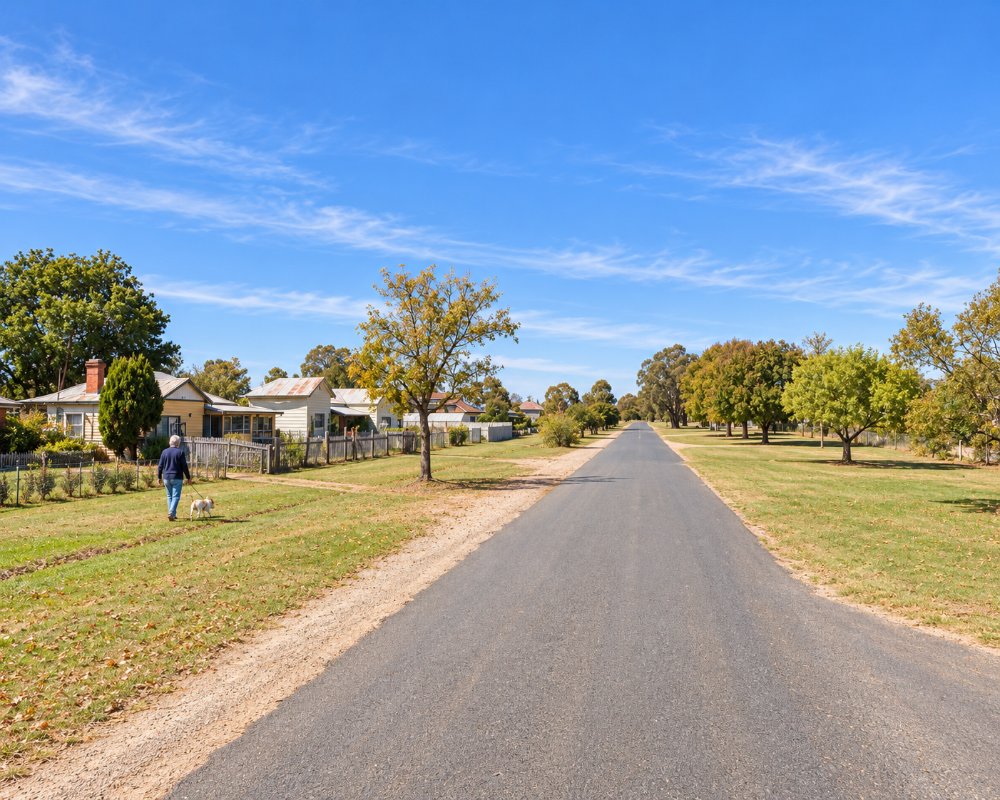
Yerong Creek is a village of about 170 people on the Olympic Highway, 46 km south of Wagga Wagga and 15 km south of The Rock. It began in the late 1870s as a railway village.
Known For
- A donation camp with power and showers
- A painted water tower
- A stop on the Olympic Highway
Things To Do in Yerong Creek
The water tower has been painted with a mural, and the village has a hall, a bowling green and a few old buildings. The hotel has closed. Wheat and canola grow all around.
Through Their Eyes
The water tower mural by the Melbourne artist Heesco covers 836 square metres and tells local life and history through children’s eyes, in themes from farming and school to sport and transport. It was the third water tower mural in Lockhart Shire, after Lockhart and Milbrulong.
The Chinese Crossing
On Noskes Lane is an 1880s stone dam wall built by Chinese migrants to hold water for their vegetable gardens. Stanley Galvin Park in the village is a shady spot for a break.
Where To Stay
The Yerong Creek RV Camping Ground, on Hay Street, has six powered sites, town water, gas hot showers and a camp kitchen, for a donation.
The camping ground shares a six-hectare site with the bowling club and sports grounds, is level and roomy enough for big vans, and caps camper numbers. No dump point is listed; the nearest is at The Rock Recreation Ground, 15 km north.
Henty and The Rock also have low-cost camping.
Eat & Drink
There is no pub, but Country Bumpkins Cafe, on the highway at 3 Cox Street, serves coffee and food made on the premises. Henty and The Rock have more shops and meals.
History
Yerong Creek lies on Wiradjuri Country and takes its name from the creek. The village grew beside the Main Southern Railway as the line was pushed from Wagga Wagga towards Albury, and its post office opened in 1882. In 1993 an XPT set an Australian rail speed record of 193 km/h on the straight near Yerong Creek. The hotel and most shops have since closed, but the bowling club, recreation ground and hall still serve the district.
Getting to Yerong Creek
Yerong Creek is on the Olympic Highway.
It is about 500 km from Sydney via Wagga Wagga, on sealed roads that suit caravans, and Albury is about 100 km south. The XPT passes through but does not stop.
Experiences
- Caravan and Camping
- Rural/Country
- Self-Drive
Popular Activities
- Caravan and Camping
- Driving
- Sightseeing
- Winery
About Yerong Creek
- Locality: Rural locality
- Yerong Creek Postcode: 2642
- State: New South Wales
- Region: Country NSW
- Latitude: -35.38745
- Longitude: 147.06123
- Elevation: 218m
- Population: 352
- Median Income: $27664
- Area (Sq/km): 259.99
- Timezone: Australia/Sydney
