
Weetaliba, NSW
Weetaliba is a farming locality of about 50 people, some 25 km north-west of Coolah on the back road to Binnaway.
Known For
- Farming country
- A back road between Coolah and Binnaway
- Quiet and little visited
Things To Do in Weetaliba
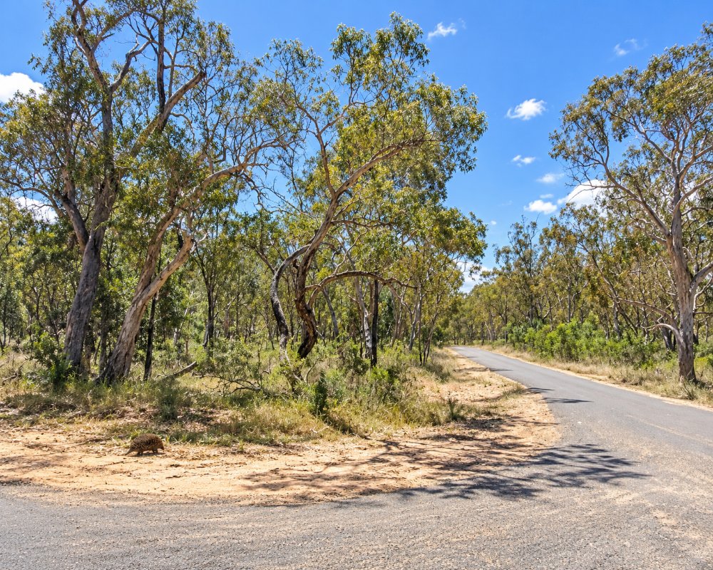
There is no village and nothing for visitors. A nature reserve of the same name lies nearby but has no facilities.
Weetalibah Nature Reserve
The reserve, spelt with an h, covers 2,146 ha about 20 km north-west of Coolah and was set aside in 1968. It protects ironbark, white cypress pine and tumbledown gum woodland in the Brigalow Belt South, where very little bushland is protected, and surveys have found 125 plant species there. It has no tracks, camping or facilities, so it suits birdwatchers and naturalists happy to look from the roadside.
Where To Stay
There is nowhere to stay. Coolah has a caravan park, and Binnaway has a free camp.
Binnaway, 25 km west, has the Pumphouse Camping Ground beside the Castlereagh River, with free unpowered sites, eight powered sites for a small fee, coin-operated hot showers and a dump point, and the Exchange Hotel there has refurbished pub rooms. Coolah, 27 km south-east, has the Black Stump Inn and the Coolah Valley Hotel, the Calais Motel and a caravan park on Cunningham Street. Coolah Tops National Park, 31 km beyond Coolah, has NPWS campgrounds at The Pines, Coxs Creek and The Barracks; they take caravans, but the last 11 km is unsealed and steep.
Eat & Drink
There are no services.
For a meal, the Exchange Hotel in Binnaway serves lunch from Wednesday to Sunday and dinner from Wednesday to Saturday. Coolah’s two pubs, its bakery and a small supermarket are 27 km away, and Coolah and Binnaway are the nearest places for fuel. Coonabarabran has the most choice.
History
Weetaliba is Gamilaraay country. Visit NSW gives the Gamilaraay name for the area as Weetalibah-Wallangan, said to mean the place where the fire went out and left a burnt stump, which is the root of Coolah’s Black Stump story. Squatters took up runs here from the late 1830s, after Governor Darling’s 1826 limits of settlement, and the nature reserve was set aside in 1968.
Getting to Weetaliba
Roads in the district are partly gravel.
The road links the Black Stump Way at Coolah (27 km) with Binnaway (25 km) and on to Coonabarabran. From Sydney it is about 415 km via Mudgee, Gulgong, Dunedoo and Coolah.
Experiences
- Nature based
- Rural/Country
- Self-Drive
Popular Activities
- Bird Watching
- Driving
- Sightseeing
About Weetaliba
- Locality: Rural locality
- Weetaliba Postcode: 2395
- State: New South Wales
- Region: Country NSW
- Latitude: -31.64363
- Longitude: 149.58646
- Elevation: 478m
- Population: 50
- Median Income: $21164
- Area (Sq/km): 222.843
- Timezone: Australia/Sydney
