
Urunga, NSW
Urunga is a small coastal town about 30 km south of Coffs Harbour and 500 km north of Sydney, at the point where the Bellinger and Kalang rivers join and flow into the Pacific. Bypassed by the highway, it is a peaceful place, best known for a boardwalk that runs for a kilometre over the estuary to the ocean beach.
Known For
- The Urunga boardwalk
- The meeting of two rivers
- A calm lagoon for swimming
About 3,000 people live in Urunga. The town overlooks a wide estuary of sandbars, mangroves and clear channels, with the green ranges of the Dorrigo escarpment behind.
Things To Do
The Boardwalk
Starting near the town centre, the timber boardwalk follows the river through mangroves and across the lagoon to the surf beach at the river mouth. Fish, rays and crabs can be seen in the shallows, and it is a fine walk at sunrise or sunset.
Urunga Lagoon
Beside the caravan park, a sheltered tidal lagoon with a sandy beach is one of the safest swimming spots on the coast for children.
Urunga Wetlands
On the edge of town, a former antimony processing site was cleaned up and reopened in 2017 as a wetland reserve, with a boardwalk through paperbark forest.
Rivers
The Bellinger and Kalang are popular for kayaking, fishing and boating, with a boat ramp near the golf course.
Hungry Head
A few kilometres south, this headland has a patrolled surf beach and a lookout.
Bellingen and Dorrigo
The riverside town of Bellingen is 15 minutes inland, and the rainforest of Dorrigo is 45 minutes up the mountain.
History
Urunga is in the country of the Gumbaynggirr people. The name is said to mean long white sands.
Cedar from the Bellinger Valley was shipped out through the river mouth from the 1840s. A pilot station was established in 1868 to guide vessels over the dangerous bar, and the settlement, first called Bellinger Heads, grew around it. The railway arrived in 1923.
Where To Stay
Urunga has two holiday parks, a riverside resort, a riverfront campground, a historic hotel with rooms overlooking the estuary, and holiday houses.
Bellingen and Coffs Harbour offer more.
Reflections Urunga, at 2 Morgo Street on the lagoon, has flat powered sites, extra-large sites, beachside cabins and dog-friendly cabins and campsites. Riverside Holiday Resort Urunga is on the Kalang River, Anchorage Park is a riverfront campground, and the Ocean View Hotel, built in 1927, has rooms above its bistro. About 4 km south, Reflections Hungry Head has rustic, dog-friendly cabins in the rainforest, and across the river Bellinger River Tourist Park has powered and drive-through riverside sites, waterfront villas, a pool, a boat ramp and a dump point. We found no public dump point in Urunga itself.
Eat & Drink
There are cafes, a pub and a golf club. A honey shop with a giant hive stands on the old highway.
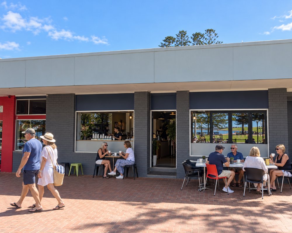
The Ocean View Hotel overlooks both rivers, with a bistro open for lunch and dinner every day, pub pizzas, a bottle shop and live music each week. Elroys Cafe Bar & Restaurant and Liberty Providores are the pick of the cafes, Anchors Wharf, on the Kalang River, is now a seafood restaurant, and The Honey Place on Giinagay Way has a working display hive, honey tastings and scones.
The golf club now trades as C.ex Urunga, and its Shank Inn bistro serves steaks and a Kalang beef burger. Elroys cooks over a wood fire and is closed on Mondays. Raleigh Winery, 10 minutes away, has tastings on a deck over the Bellinger River, and the North Beach General Store at Mylestom does burgers and fish and chips by the river.
Getting There
Take the Urunga exit from the Pacific Highway. Mylestom and Repton, across the Bellinger River, are ten minutes away by road, and Valla Beach is 15 minutes south. Trains between Sydney and Brisbane stop at the station; northbound trains stop only for booked passengers.
Experiences
- Caravan and Camping
- Nature based
- Relaxation
Popular Activities
- Beach
- Bird Watching
- Bush Walking
- Caravan and Camping
- Fishing
- Kayaking
- Swimming
About Urunga
- Locality: Urban locality
- Urunga Postcode: 2455
- State: New South Wales
- Region: North Coast NSW
- Latitude: -30.49708
- Longitude: 153.01488
- Elevation: 24m
- Timezone: Australia/Sydney
