
Terara, NSW
Terara is a village on the southern bank of the Shoalhaven River, three kilometres east of Nowra. In the 1850s and 1860s it was the principal town of the Shoalhaven, with wharves, hotels, stores and a newspaper.
Known For
- The original town of the Shoalhaven
- Old buildings on the river bank
- A short drive or ride from Nowra
Things To Do at Terara
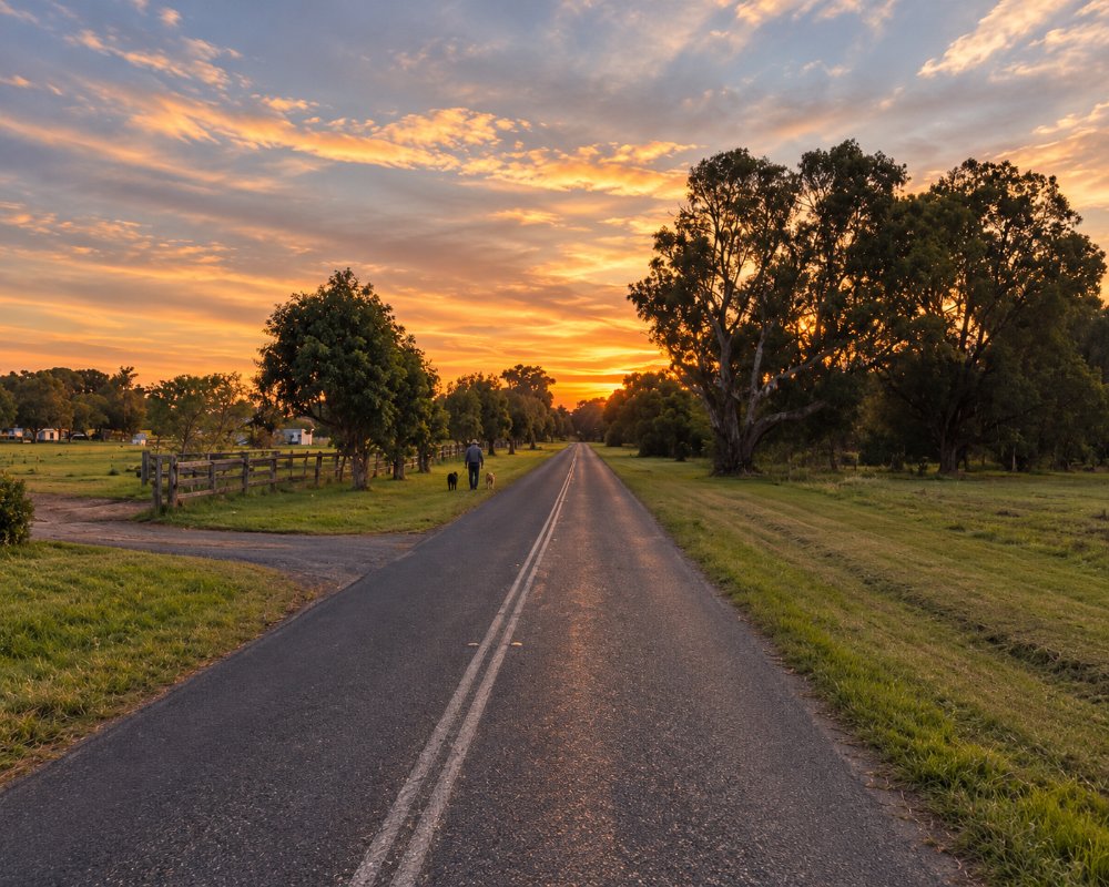
Two great floods in 1860 and 1870 swept much of it away, and business moved to higher ground at Nowra. What is left is a quiet street of old houses, a church or two and a few grand homes among fig trees, with dairy paddocks behind and the river in front. It takes ten minutes to see and is worth the detour for anyone interested in local history.
Archer and the first Melbourne Cup
Terara’s most famous story is a horse. Etienne de Mestre trained Archer on his Terara estate, and Archer won the first Melbourne Cup in 1861 and won again in 1862. Contrary to legend, the horses did not walk to Melbourne: they walked about 13 km to Berry’s Wharf at Greenwell Point and went by steamer to Sydney and on to Melbourne. Millbank Road, through the old de Mestre estate, still has heritage houses.
On the river
Terara Road is flat and quiet, an easy ride or walk out from Nowra along the river. The river here is fished for bream, flathead and whiting, and Nowra’s riverside parks and boat ramps are a few minutes away. Terara Public School still serves the district.
Where To Stay
Shoalhaven Caravan Village, at 17 Terara Road on the river at the western edge of Terara, has powered and unpowered sites and cabins. Nowra is five minutes away.
Across the bridge, North Nowra Riverfront Caravan Park on Rock Hill Road, home of the Shoalhaven Ski Park, has powered and unpowered sites, a boat ramp and a kiosk. The council’s Nowra Showground Campground on West Street takes caravans and campervans only, with 30 sites with power and water, dogs on leads and a dump point. Nowra has motels and hotels. On the coast, Greenwell Point has Coral Tree Lodge Tourist Park on the Crookhaven River, and the council’s Holiday Haven parks at Shoalhaven Heads and Culburra Beach are each about 20 km away. Terara Road is flat, sealed and fine for caravans, though it goes under in big floods.
Eat & Drink
Terara has no shop, pub, cafe or fuel; everything is in Nowra, 3 km away, which has supermarkets, bakeries, cafes, pubs and clubs with inexpensive bistro meals on both sides of the river. For a meal by the water, drive about 15 km to Greenwell Point, where Pelican Rocks sells fish and chips and Jim Wild’s Oysters sells oysters from the leases. On the way, the Jindyandy Mill at Pyree has a cafe and a lolly shop.
Pelican Rocks is more than a fish and chip shop: it is a seafood cafe-restaurant serving Sydney rock oysters, with lobster to order ahead and takeaway. At Jindyandy Mill, the cafe is Vons Vintage Cafe, and The Butter Factory at Pyree cooks country meals in a butter factory dating from the 1840s.
History
Terara is in the country of the Jerrinja people of the Yuin nation. In the 1850s it was the first township on the south bank of the lower Shoalhaven, built around a public wharf where steamers loaded produce for Sydney, and it was busier than Nowra. The February 1860 flood drowned 16 people in the district, and after the 1870 flood traders and residents moved up to the higher ground at Nowra. Etienne de Mestre’s Millbank estate made the village famous in racing when Archer won the 1861 and 1862 Melbourne Cups.
Getting to Terara
From Nowra, follow Terara Road east along the river.
From Sydney it is about 160 km, around two hours, by the M1 and the Princes Highway. Cross the Shoalhaven bridge into Nowra and turn east into Terara Road; the village is 3 km on, and the road continues as Comerong Island Road to Numbaa and the Comerong Island ferry. The nearest railway station is Bomaderry, the end of the South Coast Line.
Experiences
- Historic/Heritage
- Rural/Country
Popular Activities
- Caravan and Camping
- Cycling
- Driving
- Fishing
- Shopping
- Sightseeing
About Terara
- Locality: Rural locality
- Terara Postcode: 2540
- State: New South Wales
- Region: South Coast
- Latitude: -34.86545
- Longitude: 150.62744
- Elevation: 6m
- Population: 234
- Median Income: $27196
- Area (Sq/km): 8.826
- Timezone: Australia/Sydney
