
Stroud Road, NSW
Stroud Road is a small village on The Bucketts Way, about ten minutes north of Stroud, where the road to Dungog branches off and the North Coast railway crosses the Karuah River.
Known For
- A junction village
- The Karuah River
- Farmland in the Stroud valley
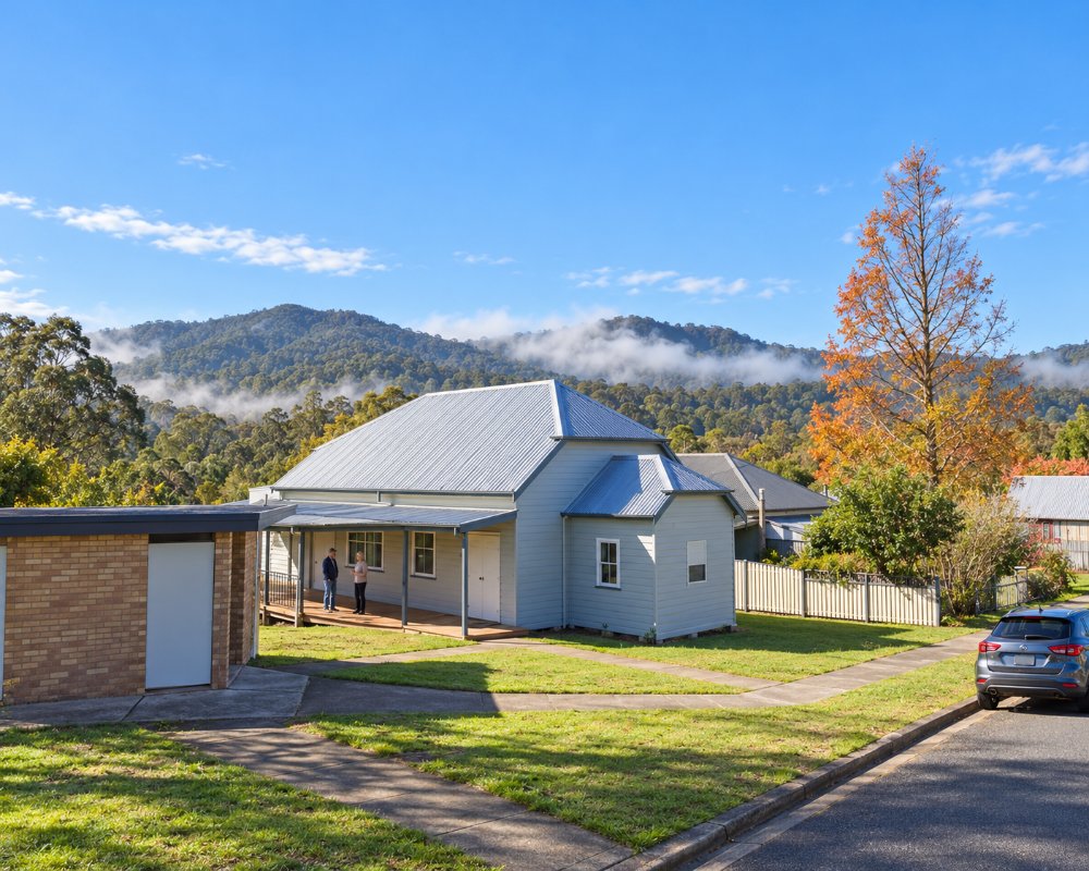
Things To Do in Stroud Road
There is little to stop for beyond the river; a general store has been listed, but we could not confirm it is trading. The village grew around the railway station that served Stroud, which the line itself bypassed.
Monkerai Valley
The back road west to Dungog runs through the Monkerai Valley, a quiet farming valley on the upper Karuah River. Riverwood Downs, a riverside camping resort, is the main stop and hosts music festivals; the road winds, so allow extra time with a van.
Gloucester Tops turn-off
Further north on The Bucketts Way, Gloucester Tops Road heads west along the Gloucester River to the NPWS campground and Gloucester Falls on the edge of the plateau. It is unsealed, with causeways that rise after rain.
Where To Stay
There is no accommodation. Stroud and Gloucester are the nearest places to stay.
In Stroud, 9 km south, Stroud Showground on Cowper Street has 15 powered sites, amenities, showers and a laundry, a seven-day limit and online bookings through MidCoast Council, and the Central Hotel at 52 Cowper Street has rooms upstairs. Gloucester, about 36 km north, has Gloucester Holiday Park and motel rooms at the Roundabout Inn, and the NPWS Gloucester River campground has 30 unpowered sites including caravan sites, with toilets and barbecues but no drinking water; the road has river crossings, and the wet-weather detour is not suitable for caravans. Free public dump points are at Allen Park in Stroud and across from the pool in Gloucester.
Eat & Drink
We could not confirm a store trading here, so buy supplies in Stroud or Gloucester.
In Stroud, the Central Hotel has a bistro and bar open seven days, and Billy T Cafe does breakfast and lunch. In Gloucester, Hebbys Bakery at 55 Church Street is an old-style country bakery for pies and slices, Thunderbolts Cafe and Takeaway at 67 Church Street serves breakfast, lunch and dinner daily, the Roundabout Inn has a bistro, and the Avon Valley Inn at 82 Church Street has a Thursday steak night.
History
This is Worimi country. The village takes its name from its railway station: the line could not reach Stroud at reasonable cost, so a station called Stroud Road opened here on 5 February 1913 to serve it, and a small settlement grew around it. Passenger trains no longer stop.
Getting to Stroud Road
Stroud Road is on The Bucketts Way between Stroud and Gloucester.
From Sydney it is about 235 km via the Pacific Highway to Twelve Mile Creek and The Bucketts Way, sealed and fine for caravans.
Experiences
- Rural/Country
- Self-Drive
Popular Activities
- Caravan and Camping
- Driving
- Sightseeing
About Stroud Road
- Locality: Rural locality
- Stroud Road Postcode: 2415
- State: New South Wales
- Region: North Coast NSW
- Latitude: -32.34476
- Longitude: 151.92907
- Elevation: 64m
- Population: 230
- Median Income: $27664
- Area (Sq/km): 57.237
- Timezone: Australia/Sydney
