
Rocky Glen, NSW
Rocky Glen is a locality on the Oxley Highway, about 34 km east of Coonabarabran on the way to Mullaley and Gunnedah.
Known For
- A point on the Oxley Highway
- Forest and farm country
- Between Coonabarabran and Gunnedah
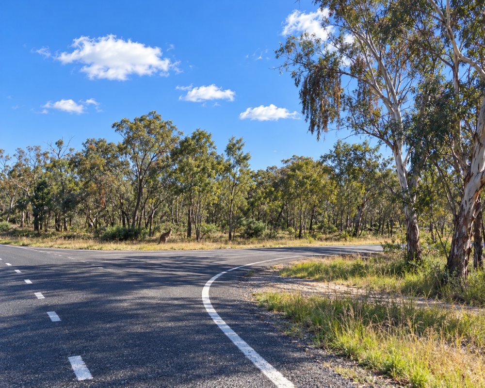
Things To Do in Rocky Glen
We could not confirm any pub, store or camping here, so treat it as a name on the map. Garrawilla National Park, a small park of 937 ha, lies nearby, and the Pilliga forests stretch away to the north-west; neither has visitor facilities close to here.
Coonabarabran and the Warrumbungles
Most travellers pass through on the way to Coonabarabran, which calls itself the Astronomy Capital of Australia. The Siding Spring Observatory and Warrumbungle National Park, with the Breadknife and the Grand High Tops walk, are about 35 km beyond the town.
Where To Stay
There is nowhere to stay. Coonabarabran has caravan parks, and Gunnedah is 70 km further east.
Coonabarabran, 34 km west, has John Oxley Caravan Park on the Newell Highway, with powered sites, tent sites and ensuite cabins within walking distance of the shops, and the Castlereagh Village has cottages with plenty of parking for caravans. The NPWS campgrounds in Warrumbungle National Park are about 35 km beyond Coonabarabran. Gunnedah has several caravan parks and motels. This stretch of highway has long gaps between services, so arrive with fuel.
Eat & Drink
There are no services.
Coonabarabran has supermarkets, bakeries, cafes, pubs, clubs and service stations on the Newell Highway, and Gunnedah has full shopping and fuel. Mullaley, 34 km east, is a small village, so check ahead before relying on it for supplies.
History
Rocky Glen is on Gamilaraay (Kamilaroi) land. The Oxley Highway takes its name from John Oxley, whose 1818 expedition crossed this country and named the Liverpool Plains to the east. The district was taken up for grazing from the 1830s and is still farm and timber country, with rocky sandstone ridges that probably gave the locality its name.
Getting to Rocky Glen
The Oxley Highway is sealed and suitable for caravans.
From Sydney it is about 510 km, via the Newell Highway and Coonabarabran, or via the New England Highway, Gunnedah and the Oxley Highway.
Experiences
- Rural/Country
- Self-Drive
Popular Activities
- Driving
- Sightseeing
About Rocky Glen
- Locality: Rural locality
- Rocky Glen Postcode: 2357
- State: New South Wales
- Region: Country NSW
- Latitude: -31.11513
- Longitude: 149.56642
- Elevation: 466m
- Population: 80
- Median Income: $22256
- Area (Sq/km): 390.575
- Timezone: Australia/Sydney
