
Rainbow Flat, NSW
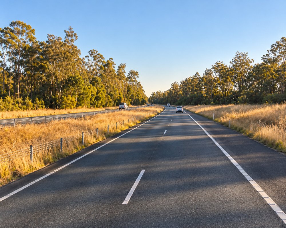
Rainbow Flat is a small rural locality about ten kilometres south of Taree, where The Lakes Way leaves the Pacific Highway for Forster and Tuncurry.
Known For
- The turn-off to Forster
- Forest and farmland
- A handy rest stop
Things To Do in Rainbow Flat
Most people know Rainbow Flat only as a junction. Kiwarrak State Forest, beside it, has a network of mountain bike trails. Hallidays Point and its beaches are 15 minutes east.
Kiwarrak mountain bike park
Kiwarrak State Forest, on the ridges west of Rainbow Flat, has more than 40 km of mountain bike singletrack for cross-country, enduro and gravity riding, kept up by the local Tip Riders club; the main trailhead is on The Bucketts Way near Taree, with parking but no toilets or water. The Black Summer fires and later floods destroyed about 50 bridges, which the club has since rebuilt.
Hallidays Point beaches
Ten minutes east along Blackhead Road, Black Head has a patrolled beach, an ocean pool and a rainforest walk to Red Head, with Diamond Beach and Saltwater National Park just beyond.
Breakneck Lookout
Breakneck Lookout, a fire tower in Kiwarrak State Forest about 5 km west, has views over the Manning Valley to the coast. Access is by forest roads that can be rough after rain.
Where To Stay
There is a bed and breakfast, Palmyra B&B; we could not confirm a caravan park. Taree and Forster have much more.
Rainbow Flat itself is small farms and bush blocks. At Hallidays Point, 10 km east, BIG4 Happy Hallidays Holiday Park at Black Head has powered and ensuite sites, large motorhome sites, cabins, an indoor pool and a guest dump point, and takes pets on approval, and Diamond Beach has beachfront resorts. Taree, 13 km north, has highway motels and caravan parks. The nearest free public dump points are on Nabiac Street, Nabiac, and at Taree Rotary Park on Manning River Drive.
Eat & Drink
We could not confirm a roadside service station. Eat in Taree or at Hallidays Point.
At Black Head, ten minutes east, Hallidays Point Tavern on Blackhead Road has a bistro for lunch and dinner with theme nights, and the Hallidays Point Sports Club’s Marg’s Bistro is open every day. Taree has the full range of pubs, cafes, fuel and supermarkets, and Nabiac, 11 minutes south, has fuel and a small village centre.
History
Rainbow Flat is on Biripi Country. The flats and forested ridges south of Taree were opened up for farming and timber after European settlement, and the locality grew along the old Pacific Highway between Taree and Nabiac. In November 2019 the Hillville bushfire destroyed the Rainbow Flat Rural Fire Service station; the brigade moved into a new station in 2021.
Getting to Rainbow Flat
Rainbow Flat is on the Pacific Highway, ten minutes south of Taree.
The highway is dual carriageway, with a trumpet interchange where The Lakes Way branches off to Forster, about 29 km south.
Experiences
- Rural/Country
- Self-Drive
Popular Activities
- Driving
- Mountain Biking
- Sightseeing
About Rainbow Flat
- Locality: Rural locality
- Rainbow Flat Postcode: 2430
- State: New South Wales
- Region: North Coast NSW
- Latitude: -32.00978
- Longitude: 152.46821
- Elevation: 42m
- Population: 671
- Median Income: $25480
- Area (Sq/km): 32.217
- Timezone: Australia/Sydney
Accommodation In Rainbow Flat
Discover some of the accommodation in and around Rainbow Flat
