
Mathoura, NSW
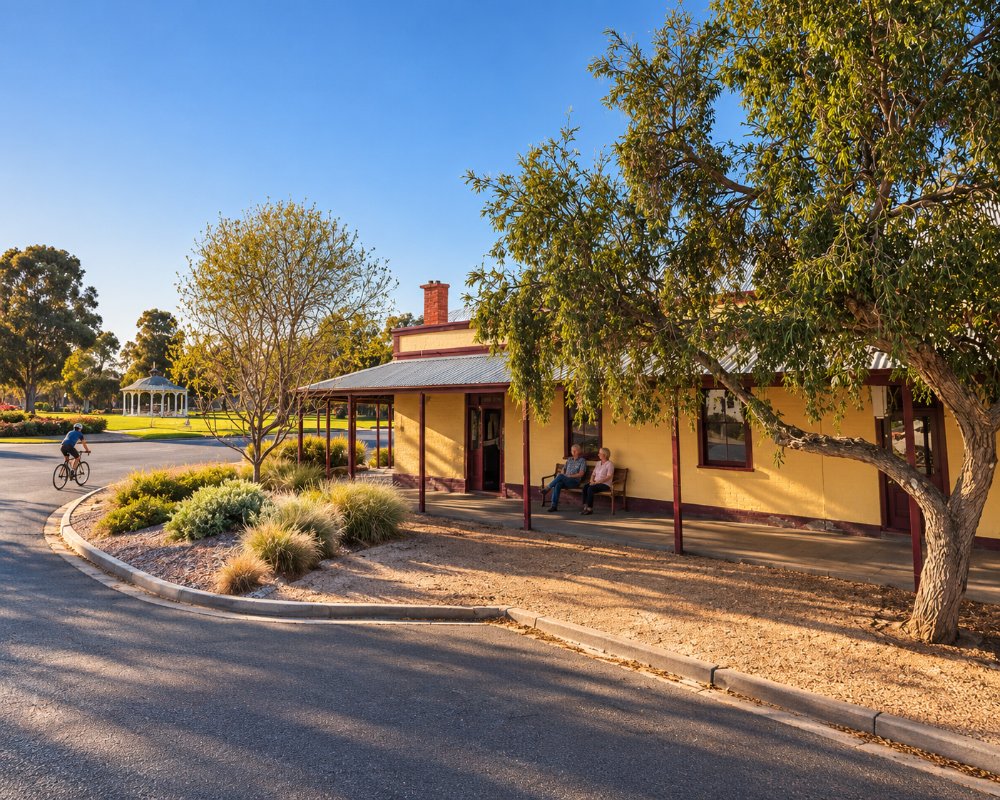
Mathoura is a town of about 700 people on the Cobb Highway, 42 km north of Moama and 32 km south of Deniliquin. It is the gateway to the Barmah-Millewa forest, the largest river red gum forest in the world.
Known For
- River red gum forests
- The Reed Beds Bird Hide
- Camping on the Murray and Edward rivers
Things To Do in Mathoura
Murray Valley National Park
Forest drives lead through tall red gums to the Murray, the Edward River and Gulpa Creek. The roads are unsealed and some close when the forest floods.
Reed Beds Bird Hide
A 500 m return boardwalk off Picnic Point Road leads to a hide over the Reed Beds wetland, where ibis, spoonbills, egrets and many other waterbirds breed.
Picnic Point
On the Murray ten kilometres east, Picnic Point has a sandy beach, a boat ramp and good fishing for cod and yellowbelly.
The Timbercutter there is a cafe, bar and restaurant known for wood-fired pizzas, and ten panels on its Timber Heritage Walk, set on red gum posts, tell the story of the district’s timber industry.
Edward River Canoe Trail
The canoe and kayak trail runs through Murray Valley National Park on slow water lined with red gums, with an easy launch point. Experienced paddlers can make a three-day trip from Picnic Point to Deniliquin, camping along the way.
Town
The town has a heritage trail, a timber heritage walk and a water tower mural, and holds a fishing classic each year.
The international street artist DULK painted the water tower with local wildlife, including yellow rosellas and a platypus, and the heritage trail brochure is at the Mathoura Visitor and Business Centre on Moama Street.
Where To Stay
Picnic Point Caravan Park, on the Murray, has cabins, powered and unpowered sites, a pool, a kiosk with fuel and a dump point. Murraybank Caravan Park is another choice, and there are free bush camps in the national and regional parks.
In town, the Redgum Motel on Mitchell Street has renovated rooms and family suites on six acres, with parking for caravans and trucks. Tarragon Lodge Holiday Park, also near Picnic Point, has cabins, van sites, a boat ramp and a nine-hole golf course.
Moama and Deniliquin have many more parks.
The Edward River Bridge campground on Duggans Road, in Murray Valley Regional Park, is free apart from a small NPWS booking fee; it has toilets, suits caravans and allows dogs. Forest roads in both parks are unsealed and close in wet weather and floods.
Eat & Drink
The Mathoura Bowling Club serves meals and runs a courtesy bus to the parks. The town has a pub and a general store.
The pub is the Pastoral Hotel on Livingstone Street, the oldest in town, with pub meals, a beer garden and a front bar full of old timber-cutting photos. The Timbercutter at Picnic Point is the place for a riverside meal, and the Picnic Point Caravan Park kiosk sells fuel, gas, ice and bait. Deniliquin, about 25 minutes north, has supermarkets and cafes.
The Pastoral, known as the middle pub, also has a giant stuffed Murray cod in the front bar. The bowling club’s bistro does steaks, parmas and roasts, with barefoot bowls. The Timbercutter, a licensed cafe and bar overlooking the junction of the Murray and Edward rivers in the red gum forest, opens Friday to Sunday only, with dinner on Friday and Saturday. In winter, Mathoura Mandarins’ red-gum stall on the Cobb Highway sells mandarins, orange cake and shortbread, as it has for nearly 30 years.
History
Mathoura is in the country of the Yorta Yorta people, whose lands take in both banks of the Murray. The place was first known as Redbank, after the red earth exposed on the Cadell Fault scarp nearby, and the Redbank Inn was running by 1853. The township was laid out in 1860 and the post office opened in 1867. The Deniliquin and Moama Railway opened in 1876 with a station called Redbank, renamed Mathoura in 1879, and red gum sawmilling became the main industry.
Getting to Mathoura
Mathoura is on the Cobb Highway, half an hour from Echuca-Moama.
From Melbourne it is about 255 km via Echuca-Moama; from Sydney about 760 km via the Hume, Sturt and Newell highways to Jerilderie, then west to Deniliquin and south on the Cobb. The highway is sealed and suits caravans, and the Picnic Point roads are sealed to the parks, but forest tracks are dirt.
Experiences
- Caravan and Camping
- Eco Tourism
- Nature based
- Rural/Country
Popular Activities
- Bird Watching
- Bush Walking
- Caravan and Camping
- Fishing
- Golfing
- Kayaking
- National Park
- Wildlife
- Winery
About Mathoura
- Locality: Urban locality
- Mathoura Postcode: 2710
- State: New South Wales
- Region: Country NSW
- Latitude: -35.81262
- Longitude: 144.9026
- Elevation: 109m
- Population: 938
- Median Income: $25272
- Area (Sq/km): 546.615
- Timezone: Australia/Sydney
