
Kenebri, NSW
Kenebri is a scattered settlement of a few dozen people in the Pilliga forest, between Baradine and Gwabegar, about 70 km by road north-west of Coonabarabran. It was a sawmilling village on the Gwabegar railway.
Known For
- The Pilliga forest
- A former sawmilling village
- Cypress pine country
Things To Do in Kenebri
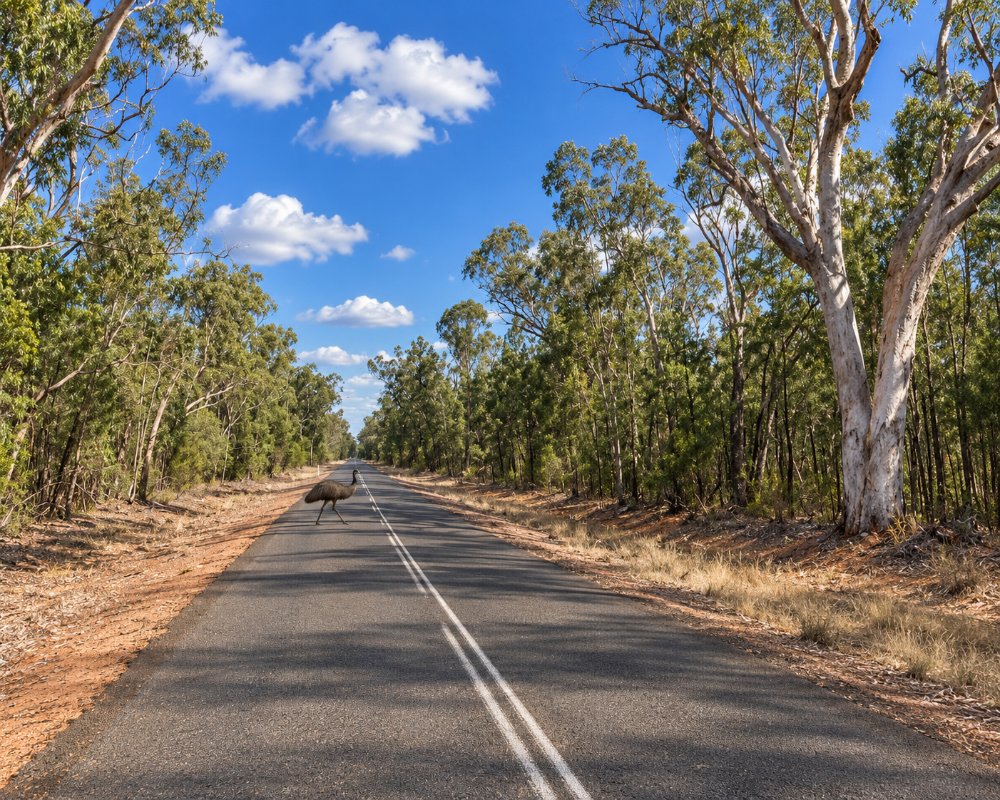
The post office and school closed long ago. There is nothing for visitors in the settlement, but the cypress pine and ironbark forest around it is the reason people drive this road.
Wooleybah Sawmill and Settlement
On Old Wooleybah Road stand the remains of a bush sawmill and its workers’ settlement, begun by the Underwood family in 1935. The mill cut white cypress pine, mostly for flooring, until the late 1990s, and half its workforce was Aboriginal. It is on the State Heritage Register; the site belongs to Forestry Corporation, so check access in Baradine before visiting.
Driving the Pilliga
Collect maps and road conditions at the Pilliga Forest Discovery Centre in Baradine. From there, forest roads lead east to Sculptures in the Scrub at Dandry Gorge and the Salt Caves lookout tower. The minor roads are sand and clay and close after rain.
Where To Stay
There is nowhere to stay. Baradine has a caravan park at the showground, and NPWS campgrounds are in the forest parks to the east.
In Baradine, 25 km south, Camp Cypress, the not-for-profit park at the showground, has cabins, about 20 powered sites, a large unpowered area and a dump point, and there is a 24-hour public dump point at Lions Park. The NPWS campgrounds at Dandry Gorge and Salt Caves have no camping fee but must be booked. Do not take a caravan onto the forest tracks in wet weather.
Eat & Drink
There are no services. Baradine has fuel and food.
Fill up in Baradine before heading north, because there is no reliable fuel in the forest between Baradine and the Newell Highway.
History
Kenebri is Gamilaraay country. In 1919, 72 farms were cut out for returned soldiers near Kenebri and Gwabegar, but most of the settlers walked off. The railway reached Kenebri in 1923 and shipped cypress pine and sleepers, the post office opened in 1929 and closed in 1984, and the line north of Binnaway closed in 2005.
Getting to Kenebri
Kenebri is on the road from Baradine to Gwabegar; ask at the Discovery Centre in Baradine about conditions.
Experiences
- Historic/Heritage
- Nature based
- Remote
- Rural/Country
- Self-Drive
Popular Activities
- Driving
- Off Road Driving
- Sightseeing
About Kenebri
- Locality: Rural locality
- Kenebri Postcode: 2396
- State: New South Wales
- Region: Country NSW
- Latitude: -30.7267
- Longitude: 149.01592
- Elevation: 247m
- Population: 42
- Median Income: $28600
- Area (Sq/km): 504.7
- Timezone: Australia/Sydney
