
Kangaroo Creek, NSW
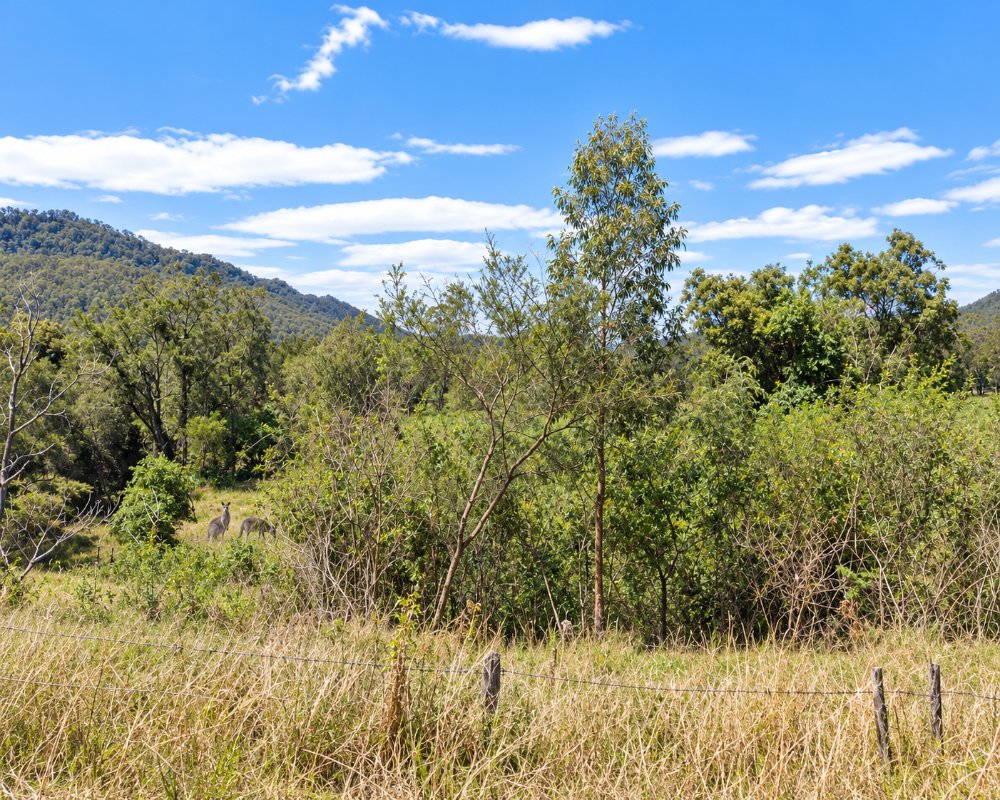
Kangaroo Creek is a small, scattered community in forested hills about 35 kilometres by road south of Grafton. It is reached by Kangaroo Creek Road from Coutts Crossing, and the creek it is named for runs down to the Orara River.
Known For
- Forested hills and creek flats
- Bush blocks and small farms
- A quiet detour off the Orara Way
Things To Do in Kangaroo Creek
There are no visitor facilities. The drive in passes through tall forest, and the state forests around the valley have unsealed roads suitable for a dry-weather explore.
The Kangaroo River
The Kangaroo River, also known as Kangaroo Creek, rises near Moleton and runs 51 km through forest to the Orara River just below Coutts Crossing. Where the road meets the water there are shady pools, but most banks are private land.
Forest drives
South of the settlement, Kangaroo Creek Road and Laytons Range Road climb into the state forests towards Towallum. They are gravel, narrow and used by log trucks, and best left alone after rain.
Where To Stay
There is no accommodation. Grafton is the nearest town, and Coutts Crossing has a tavern.
There is no public camping ground. The Coutts Crossing Tavern, 17 km north, has had motel-style rooms, so ask about rooms and camping. Grafton has the widest choice of motels, and the BIG4 Big River Holiday Park & Ski Lodge at Seelands, 19 km north-west of Grafton, has powered and unpowered sites, cabins, riverfront villas and a dump point. Nymboida Camping and Canoeing on Armidale Road has powered and unpowered sites, cabins and Wagtails Cafe, and Armidale Road suits caravans, but check Kangaroo Creek Road before towing.
Eat & Drink
There are no shops. Bring what you need.
The Coutts Crossing Tavern, 17 km north, serves pub meals, and Coutts Crossing has a general store and a service station. Bring water and lunch for the forest roads. The village is a handy stop on the way back to Grafton, about 20 minutes from Kangaroo Creek, and phone coverage can drop out in the gullies.
History
This is Gumbaynggirr Country. In 1840 Thomas Coutts took up the Kangaroo Creek pastoral run, and in late 1847 about 23 Aboriginal people were killed by poisoning on it; Coutts was arrested, but the case was dismissed. The hills were later cleared for small farms and logged for hardwood.
Getting to Kangaroo Creek
From Grafton take Armidale Road to Coutts Crossing and turn on to Kangaroo Creek Road. Allow about 40 minutes.
Armidale Road is sealed and suits caravans, and Kangaroo Creek Road is narrower. The nearest train station is Grafton, with NSW TrainLink XPT services.
Experiences
- Nature based
- Rural/Country
- Self-Drive
Popular Activities
- Bush Walking
- Driving
- Sightseeing
About Kangaroo Creek
- Locality: Rural locality
- Kangaroo Creek Postcode: 2460
- State: New South Wales
- Region: North Coast NSW
- Latitude: -29.94603
- Longitude: 152.84086
- Elevation: 85m
- Population: 107
- Median Income: $22984
- Area (Sq/km): 160.686
- Timezone: Australia/Sydney
