
Jewells, NSW
Jewells is a residential suburb on the eastern side of the Lake Macquarie district, between Redhead and Belmont.
Known For
- Jewells wetland
- The Fernleigh Track
- Minutes from Redhead Beach
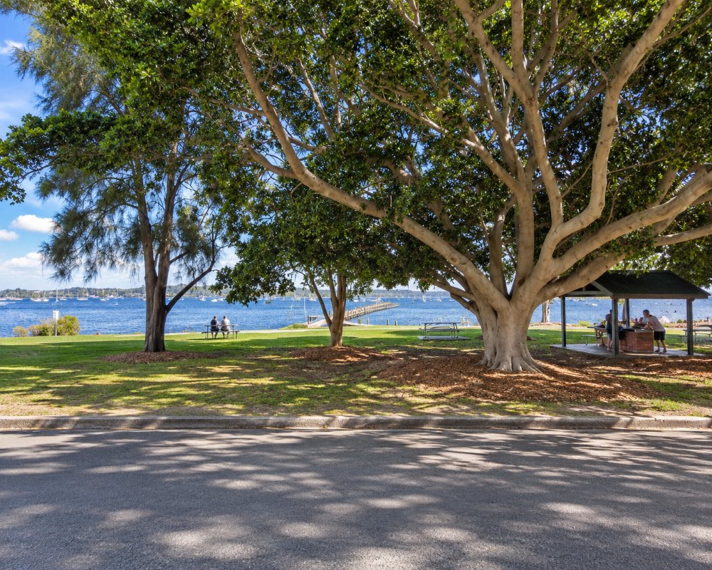
It is a family suburb built from the 1970s on, with a small shopping centre and a tavern. Wetlands and dunes lie between it and the sea.
Things To Do in Jewells
The Fernleigh Track runs along the edge of the suburb, and the wetland beside it is good for water birds. Redhead Beach, with its surf club and red cliff, is five minutes north. To the south is Belmont Wetlands State Park, a large area of dunes and lagoons behind Nine Mile Beach.
The Fernleigh Track is the old Belmont railway line, now a sealed path for walkers and cyclists. Since August 2024 it has run 27 km from Adamstown to Murrays Beach, including a 400 m boardwalk over the wetlands beside Belmont Lagoon. The main car park at Jewells is on Railway Crescent, off Wommara Avenue.
Belmont Wetlands State Park
Beside the old Jewells station site, the track runs south through paperbark and swamp mahogany forest into Belmont Wetlands State Park, a large stretch of dunes, lagoons and heath behind Nine Mile Beach. Black swans, royal spoonbills and Caspian terns are among the birds seen on the lagoons.
Where To Stay
Stay in Belmont, Redhead or Charlestown.
Jewells itself has no accommodation.
For caravans and cabins, the council’s Lake Mac Holiday Parks are about 4 to 11 km south: Sails Holiday Park in Belmont, Belmont Lakeside at Belmont South (dog friendly), Blacksmiths Beachside near the surf and Swansea Lakeside, each with powered sites, cabins and a dump point for guests. There is no public dump point nearby. For motels, look along the Pacific Highway at Gateshead and Charlestown.
Eat & Drink
Jewells has a tavern, a supermarket and takeaways.
Jewells Tavern at 73 Ntaba Road has a family bistro serving steaks, seafood, pasta and pub classics for lunch and dinner every day, with a beer garden and sports bar. Across the road, Jewellstown Plaza has a supermarket, pharmacy, bakery and takeaways. Belmont, 4 km south-west, has cafes and lakeside clubs, and Charlestown Square has the big supermarkets and a dining precinct.
History
Jewells is on Awabakal land, and the Awabakal name for part of the swamp was Ngorrion-ba, where the emu breeds. The suburb is named after John Jewell, a Newcastle tanner who led shooting parties into the swamp between 1870 and 1890. The railway from Dudley to Belmont opened in 1916, with a platform called Jewells Swamp, renamed Jewells in 1923. In the Second World War the swamp and Jewells Beach were used for commando training, and rutile was mined in the sandhills in the 1960s. The public school opened in 1977 and Jewellstown Plaza in 1982.
Getting to Jewells
Jewells is 25 minutes south of Newcastle, off the Pacific Highway.
From Sydney it is about 145 km by the M1, the Motorway Link at Doyalson and the Pacific Highway north through Swansea and Belmont; turn east at Bennetts Green onto Ntaba Road. Newcastle Transport buses run through Jewells between Belmont and Charlestown.
Experiences
- City
- Nature based
Popular Activities
- Beach
- Bird Watching
- Bush Walking
- Caravan and Camping
- Cycling
- Shopping
- Sightseeing
About Jewells
- Locality: Suburb
- Jewells Postcode: 2280
- State: New South Wales
- Region: Hunter
- Latitude: -33.01413
- Longitude: 151.68317
- Elevation: 20m
- Population: 2407
- Median Income: $34320
- Area (Sq/km): 2.946
- Timezone: Australia/Sydney
