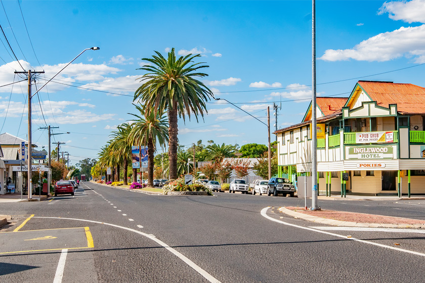
Inglewood, QLD
Heading west from along the Cunningham Highway is the Inglewood Shire with the twin towns of Inglewood and Texas. Inglewood was established in 1862.
Inglewood is creating Australia’s Olive Capital and is emerging as the hub of the Olive industry with more than 340,000 olive trees planted to date. Harvest time is between March and May and is celebrated with the Inglewood Harvest Festival around September each year.
Inglewood services a diverse rural economy which produces sheep, cattle, timber products as well as lucerne, grapes and a diversity of horticultural crops.
Centrally located in the south west of the State, Inglewood is situated on the Cunningham Highway, 91 kilometres east of Goondiwindi and 109 kilometres west of Warwick. Distance From Brisbane: 270 kilometres
The centre for water activities is Lake Coolmunda situated 12 kilometres east of Inglewood on the Cunningham Highway. It boasts some very pretty picnic spots along its shores. Excellent fishing can be enjoyed from either a boat or off the shore. Fresh water fishing sports are also abundant along the McIntyre Brook.
Visitors are also invited to explore the newly opened Inglewood Museum, take a tour of an Olive Grove, enjoy the spring wildflowers or go birdwatching. Tourist drives such as the Tobacco Trail, Silverspur Trail and Dumaresq River Road allow visitors to explore the Shire’s natural beauty.
Where to stay?
Experiences
- Caravan and Camping
- Farm/Station
- Rural/Country
- Food and Wine
- Historic/Heritage
- Nature based
- Relaxation
Popular Activities
- Off Road Driving
- Bird Watching
- Bush Walking
- Driving
- Golfing
- Skiing - Water
- Swimming
- Wine Tasting
- Winery
- Fishing
- Wildlife
- Fruit Picking
- Fishing - Estuary
About Inglewood
- Locality: Urban locality
- Inglewood Postcode: 4387
- State: Queensland
- Region: Southern Queensland Country
- Latitude: -28.41484
- Longitude: 151.0819
- Elevation: 287m
- Population: 954
- Median Income: $29120
- Area (Sq/km): 357.059
- Timezone: Australia/Brisbane