Hartley, NSW
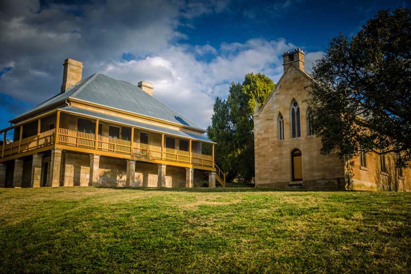
When Blaxland, Lawson and Wentworth crossed the Blue Mountains in 1813 they found the grazing land they sought in what is now known as the Hartley Valley. Governor Macquarie named this fertile valley the ‘Vale of Clwyd’ after a valley of the same name in Wales. The Hartley Valley remains basically a picturesque rural area, narrowly missed by the Great Western Highway. Many lovely grand houses have been restored and you can view the local history display and listen to the audio visual presentations in some. Houses open for inspection includes the post office (1846), street. Bernard’s Church (1842), court house (1837) and Shamrock Inn Cottage (1841). Irvine for one month each year.
Where to stay?
About Hartley
- Locality: Rural locality
- Hartley Postcode: 2790
- State: New South Wales
- Region: Blue Mountains
- Latitude: -33.54848
- Longitude: 150.15459
- Elevation: 701m
- Population: 409
- Median Income: $38740
- Area (Sq/km): 77.33
- Timezone: Australia/Sydney