
Gulargambone, NSW
Gulargambone is a small town on the Castlereagh River, just off the Castlereagh Highway about 50 km north of Gilgandra and 490 km from Sydney. Its name means watering place of many galahs, and flocks of corrugated-iron galahs greet travellers on every approach. It is also a notable example of a tiny community that has refused to fade away.
Known For
- Corrugated-iron galahs
- A community-owned cafe and visitor centre
- The Castlereagh River
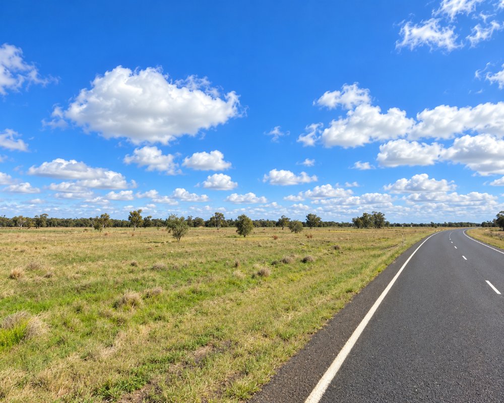
About 400 people live in Gulargambone. When banks and services began to close in the 1990s, residents set up their own cooperative ventures to keep the town going. The surrounding plains are wheat and sheep country, with the Warrumbungle Range on the eastern horizon.
Things To Do
The Galahs
About forty galahs, cut from corrugated iron and painted pink and grey, perch on poles along the highway and around the town. They were made by local people and have become the town’s emblem.
two eight two eight
Named after the postcode, this community-owned cafe, gallery and visitor information centre occupies an old cinema in the main street. It sells local art and produce and is the best place to stop.
Murals and Street Art
Murals along Bourbah Street show scenes of local life, and there are other sculptures and artworks around the town.
River Walk
A walking track follows the sandy bed and red-gum banks of the Castlereagh, which usually flows underground through its sands. Galahs, corellas and other parrots are abundant.
Water tower mural
Jenny McCracken painted the water tower in 2018 for the first Pave the Way to Gular festival. Her Lucky Dip shows a kingfisher diving towards a tangle of fish, and in 2020 it appeared on an Australia Post stamp. It stands at the Sports Oval in Yoolundry Street.
Pave the Way to Gular art trail
Since 2018 the town has added more than 30 murals and sculptures, including 3D artworks and painted footpaths. Pick up the street art map at Cafe 2828.
Warrumbungle National Park
The volcanic spires of the Warrumbungles, and the Siding Spring Observatory near Coonabarabran, are about an hour and a half east.
History
Gulargambone is in the country of the Weilwan and Kamilaroi peoples.
John Oxley crossed the Castlereagh nearby in 1818. A pastoral run named Gulargambone was established about 1840, and the village was laid out in the 1880s. The railway to Coonamble came through in 1903.
Gulargambone was gazetted as a village in 1883, and in 2000 residents opened Australia’s first community-owned post office. The town won the NSW Tidy Towns award in 2005.
Where To Stay
Gulargambone has a caravan park and a hotel with motel rooms.
Gulargambone Caravan Park, in Skuthorpe Street behind the police station and hospital, is shady and pet friendly, with drive-through sites, a camp kitchen with a pizza oven and a dump point. The Gulargambone Hotel at 18 Bourbah Street has five motel-style rooms.
Gilgandra and Coonamble have more.
Eat & Drink
Cafe 2828 serves breakfast and lunch, and the hotel serves counter meals.
The hotel has a beer garden and a gaming room, and the Friendly Grocer covers basic supplies and gas. Fuel could not be confirmed, so fill up in Gilgandra or Coonamble.
Getting There
Turn off the Castlereagh Highway midway between Gilgandra and Coonamble. Gulargambone is about 115 km north of Dubbo.
The daily NSW TrainLink coach between Dubbo and Lightning Ridge stops in town.
Experiences
- Cultural
- Rural/Country
- Self-Drive
Popular Activities
- Bird Watching
- Caravan and Camping
- Driving
- Sightseeing
About Gulargambone
- Locality: Urban locality
- Gulargambone Postcode: 2828
- State: New South Wales
- Region: Country NSW
- Latitude: -31.32969
- Longitude: 148.47119
- Elevation: 228m
- Timezone: Australia/Sydney
Accommodation In Gulargambone
Discover some of the accommodation in and around Gulargambone
