
Franklin-Gordon Wild Rivers National Park, TAS
Franklin-Gordon Wild Rivers National Park covers more than 4,400 square kilometres of mountains, rainforest and wild rivers in the west of Tasmania, and lies at the heart of the Tasmanian Wilderness World Heritage Area. It is the country that was saved from flooding by the campaign against the Franklin Dam in the early 1980s.
Only one road enters it. The Lyell Highway crosses the park for 56 km between Derwent Bridge and Queenstown, with a series of short walks along the way. The lower Gordon River, at the park’s western edge, is reached by boat from Strahan.
Known For
- The Franklin and Gordon rivers
- Short rainforest walks beside the Lyell Highway
- Gordon River cruises from Strahan
Things To Do in the Park
Nelson Falls
An easy, level walk of 20 minutes return through ferns and rainforest to a broad veil of a waterfall. It is the most popular stop on the highway.
Donaghys Hill
A 40-minute return walk to a lookout with one of the finest views in the state, over the Franklin River valley to the white quartzite dome of Frenchmans Cap.
Franklin River Nature Trail
A 25-minute loop beside the river, suitable for wheelchairs, with picnic tables and toilets.
Collingwood River
A short path leads to the river where rafting parties begin their journey down the Franklin.
Frenchmans Cap
The walk to the 1,446-metre peak is a tough three to five days. Walkers must register with Parks before setting out.
Gordon River Cruises
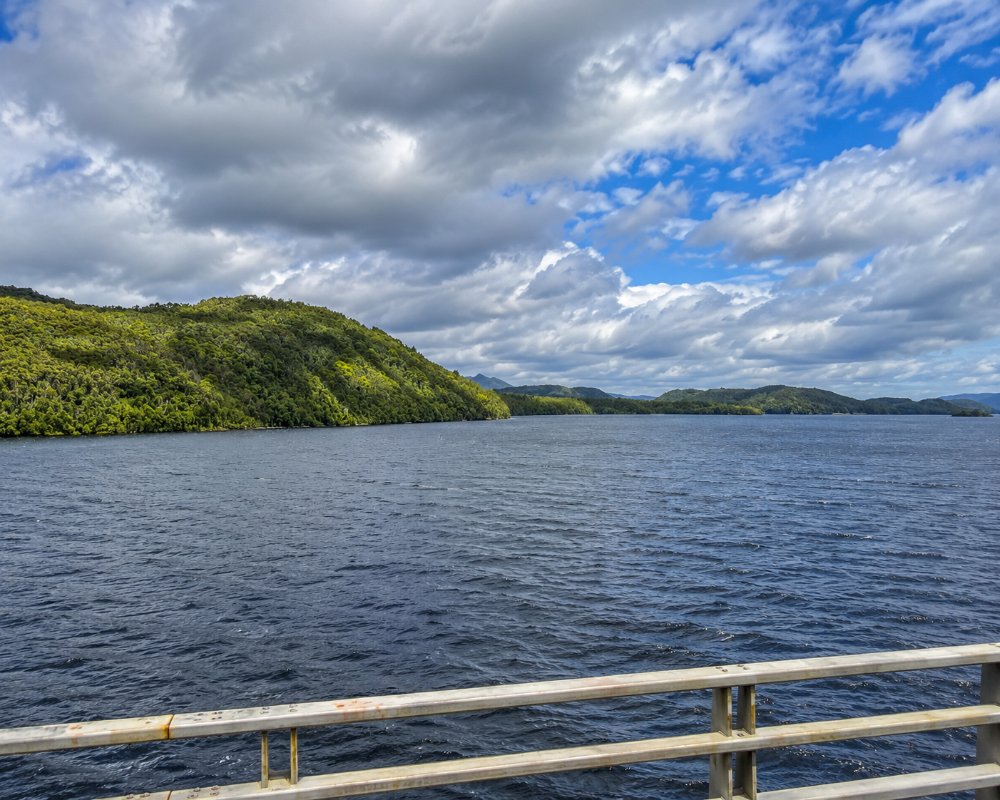
Boats leave Strahan each morning, cross Macquarie Harbour, and travel up the Gordon River into the rainforest, with a stop at the convict ruins on Sarah Island.
Rafting the Franklin
A trip of eight to ten days through remote gorges, for experienced paddlers or guided groups.
Where To Stay
There is no accommodation in the park and very little camping beside the highway.
Travellers with a caravan should stay at Queenstown, Strahan or Derwent Bridge, which have caravan parks and fuel, and visit the walks as they drive through. A parks pass is required for the walks.
Eat & Drink
There is nothing to eat or drink in the park. Derwent Bridge and Queenstown are the nearest places.
History
Aboriginal people sheltered in the limestone caves of the Franklin valley during the last ice age, and Kutikina Cave, found in 1977, holds evidence of life here about 15,000 years ago. Convicts at Sarah Island cut Huon pine along the Gordon from 1822. The national park took its present form in 1981 and was listed as World Heritage in 1982. That December, protesters began a blockade against the dam being built on the lower Gordon, and more than 1,200 were arrested. In July 1983 the High Court ruled that the dam could not go ahead.
Getting to the Park
The Lyell Highway (A10) is sealed but steep and very winding, especially on the descent into Queenstown, and it can be closed by snow in winter. Caravans use it, but slowly. Allow at least half a day to drive from Derwent Bridge to Queenstown with stops at the walks.
Experiences
- Eco Tourism
- Nature based
Popular Activities
- Bush Walking
- National Park
- Wildlife
About Franklin-Gordon Wild Rivers National Park
- Locality: Rural locality
- Franklin-Gordon Wild Rivers National Park Postcode: 7467
- State: Tasmania
- Region: North West Coast
- Latitude: -42.2150
- Longitude: 146.0190
- Timezone: Australia/Hobart
